Map of Elizabethtown, Kentucky
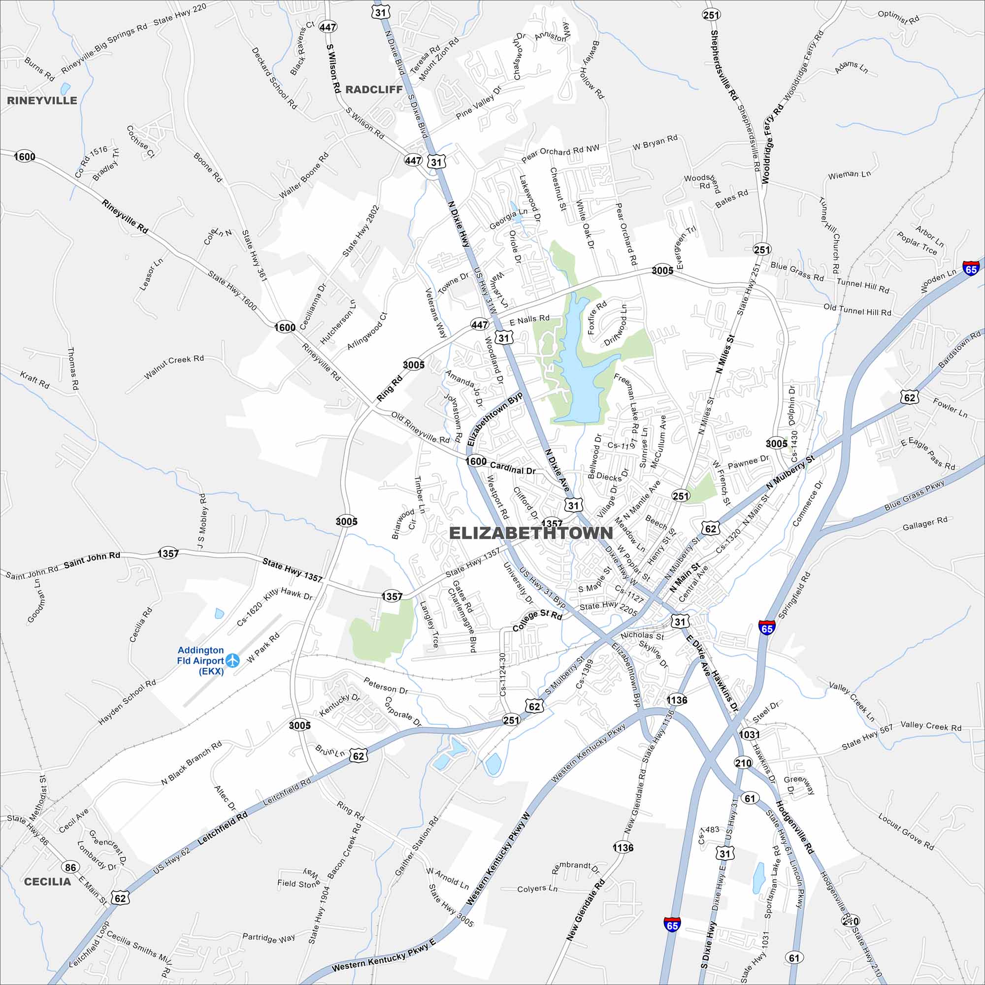
Check out Elizabethtown in the heart of Kentucky. Our map shows its compact downtown. Locals simply call it “E-town”, a nickname that stuck over time.
Kentucky State Maps
Our Kentucky maps reveal the Bluegrass State


Map Information
On the Map
Interstates/Highways: I-65, US Hwy 31W, US Hwy 62, State Rte 61, State Rte 1600, State Rte 3005, State Rte 447, State Rte 251, State Rte 1357, State Rte 1136, State Rte 210, State Rte 483, State Rte 1031, Dixie Hwy Major Roads: Mulberry St, Ring Rd, Elizabethtown Byp, Western Kentucky Pkwy, Blue Grass Pkwy, Dolphin Dr, Miles St, Poplar St, Maple St, College St, Leitchfield Rd, Bacon Creek Rd, New Glendale Rd, Hodgenville Rd, Pear Orchard Rd NW, Woodland Dr, St John Rd, Diecks Dr, Westport Rd Airports: Addington Fld Airport (EKX) Lakes and Reservoirs: Freeman Lake Nearby Communities: Radcliff, Rineyville, CeciliaCity Maps of Kentucky
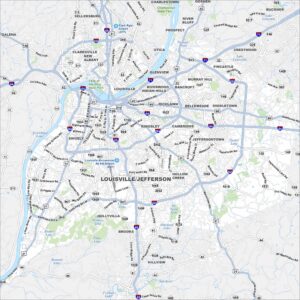
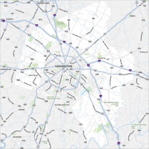
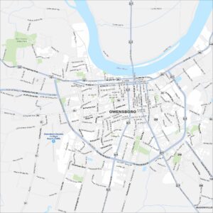
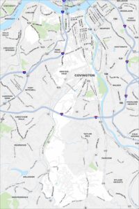
Here are Kentucky’s cities in full detail