Map of Downers Grove, Illinois
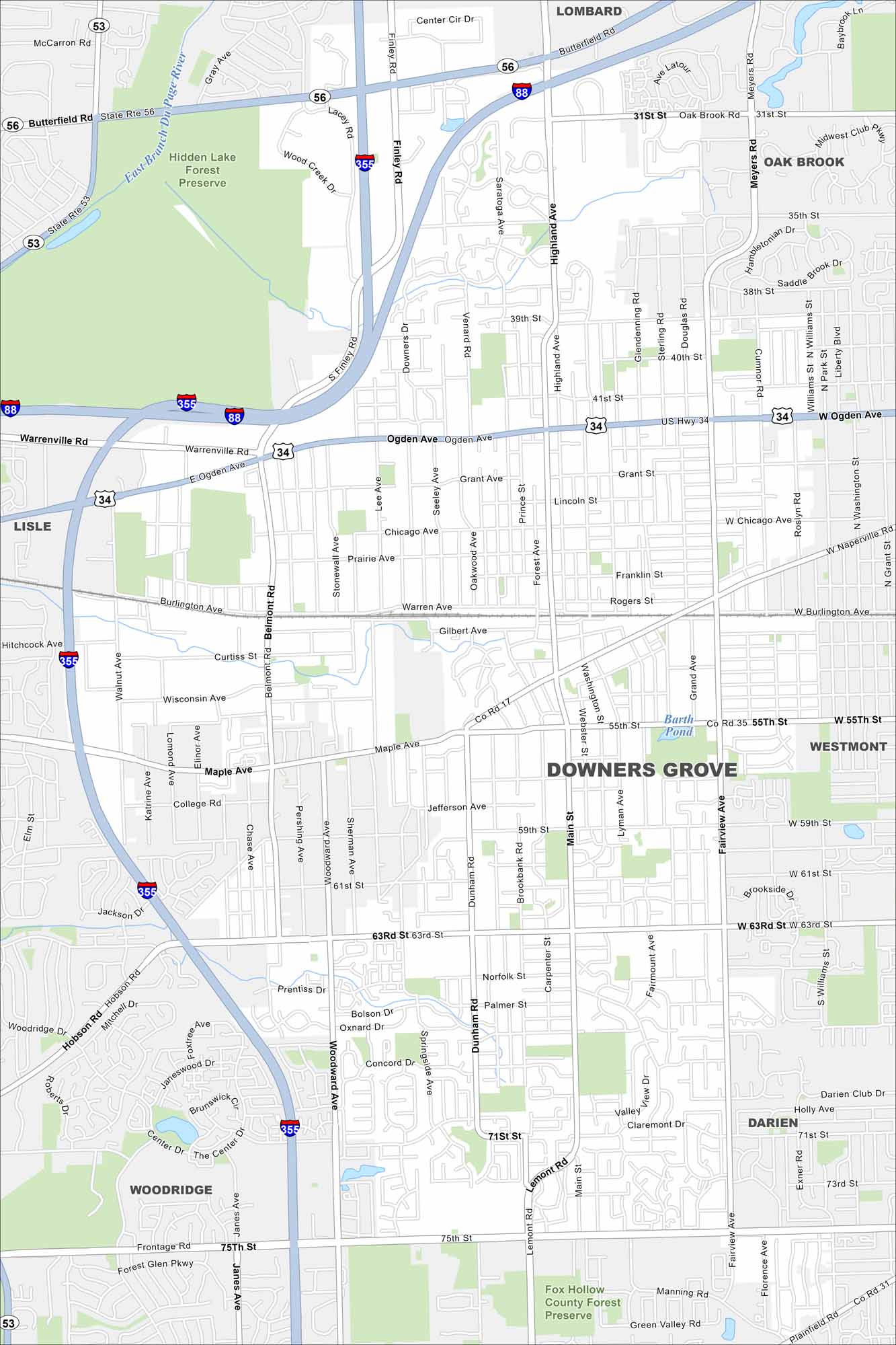
Our map of Downers Grove highlights suburban streets west of Chicago. Highways cut through tree-lined neighborhoods, with parks and creeks scattered throughout.
Illinois State Maps
Get to know Illinois with our state maps


Map Information
On the Map
Interstates/Highways: I-88, I-355, US Hwy 34, State Rte 56, State Rte 53 Major Roads: Ogden Ave, 63rd St, 75th St, Maple Ave, Main St, Fairview Ave, Belmont Rd, Butterfield Rd, Highland Ave, Finley Rd, Cass Ave, Dunham Rd, 55th St, 31st St, Warrenville Rd, Burlington Ave, Curtiss St, 71st St, Janes Ave, Woodward Ave Lakes and Reservoirs: Barth Pond Major Rivers: East Branch Du Page River Parks and Preserves: Hidden Lake Forest Preserve, Fox Hollow County Forest Preserve Nearby Communities: Lombard, Oak Brook, Westmont, Darien, Woodridge, LisleIllinois City Maps
Explore Chicago and urban regions of Illinois


