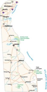
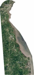
Delaware Physical Map
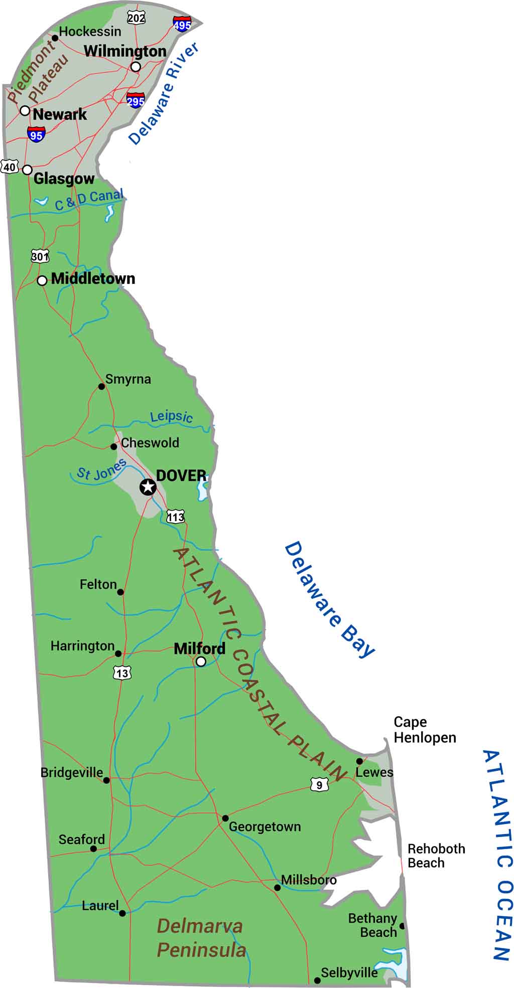
Delaware is flat. The entire state sits on the Atlantic Coastal Plain with barely any elevation to speak of. Marshes, wetlands, and tidal zones dominate the coast while gentle slopes roll through farmland inland. We mapped the landscape with our Delaware physical map.
Map Information
On the Map
Physical State Maps
Select any state map below to view its physical map.


Delaware State Maps
Uncover Delaware with our state maps