Map of DeKalb, Illinois
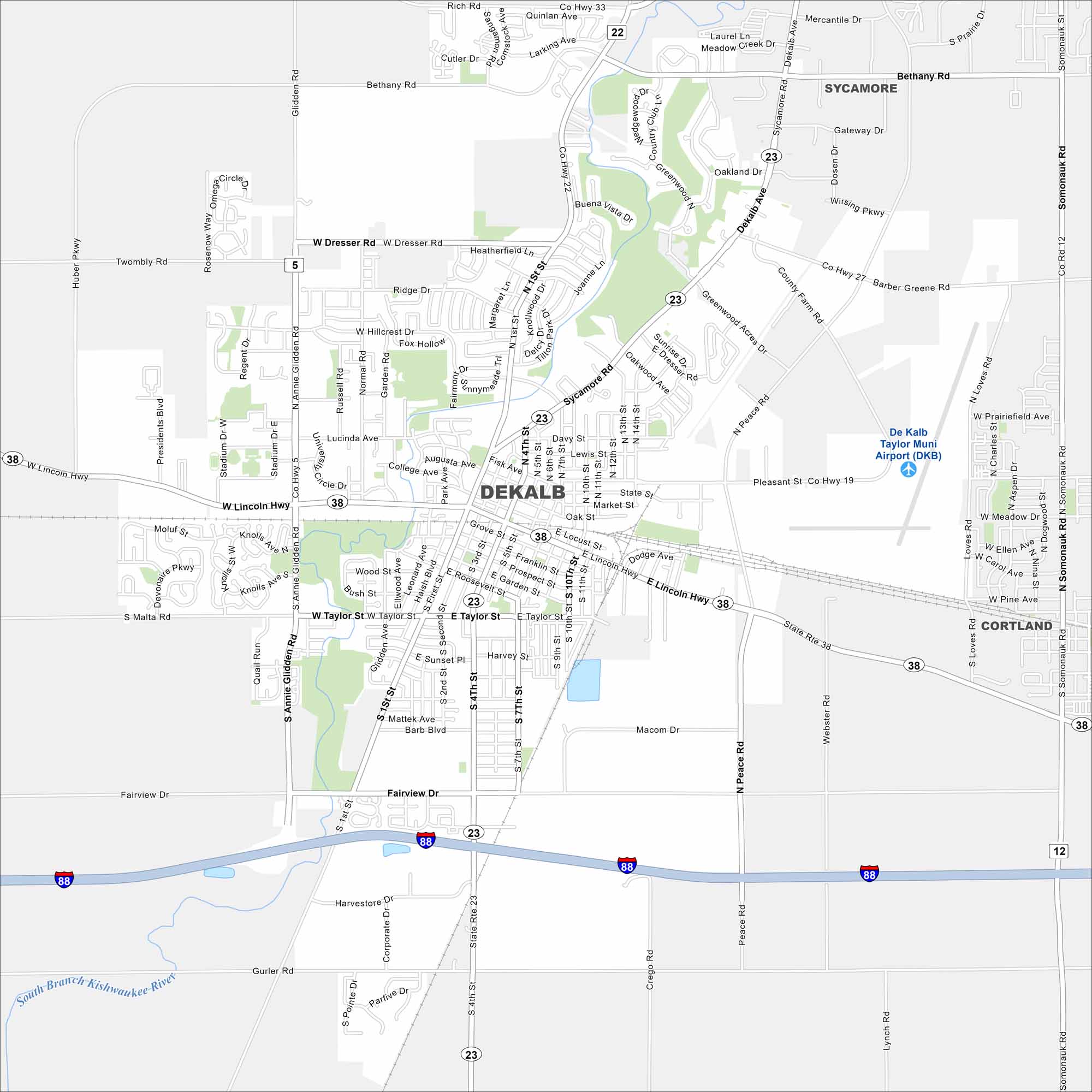
See DeKalb’s streets, highways, and wide-open spaces on our map. The city sits west of Chicago in northern Illinois. It’s long been tied to farming and the seed industry.
Illinois State Maps
Get to know Illinois with our state maps


Map Information
On the Map
Interstates/Highways: I-88, State Rte 38, State Rte 23, Lincoln Hwy Major Roads: Taylor St, Annie Glidden Rd, Peace Rd, Fairview Dr, Bethany Rd, Sycamore Rd, Main St, 4th St, 7th St, 10th St, Dresser Rd, Hillcrest Dr, Lucinda Ave, College Ave, Gurler Rd, Barber Greene Rd, Keslinger Rd, Twombly Rd, Rich Rd Airports: De Kalb Taylor Muni Airport (DKB) Major Rivers: South Branch Kishwaukee River Nearby Communities: Sycamore, CortlandIllinois City Maps
Explore Chicago and urban regions of Illinois


