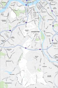
Map of Covington, Kentucky
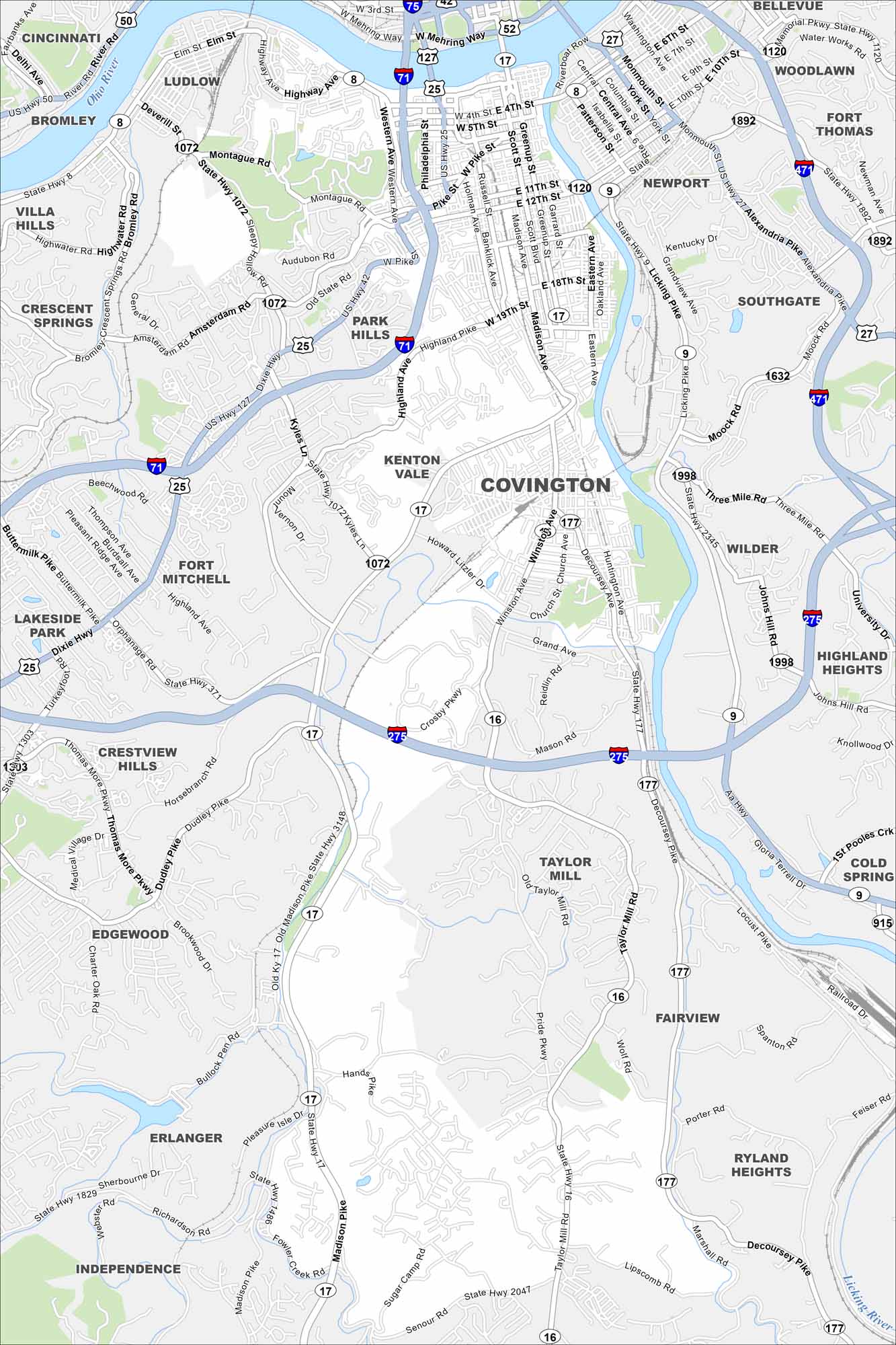
Our map of Covington shows its streets, highways, and riverfront. The city sits directly across from Cincinnati, where the Ohio and Licking Rivers meet.
Kentucky State Maps
Our Kentucky maps reveal the Bluegrass State


Map Information
On the Map
Interstates/Highways: I-75, I-71, I-471, I-275, US Hwy 25, US Hwy 42, US Hwy 127, State Rte 8, State Rte 1072, State Rte 17, State Rte 16, State Rte 177, State Rte 9, State Rte 915 Major Roads: Madison Ave, Pike St, Dixie Hwy, 4th St, 5th St, 12th St, 19th St, Winston Ave, Decoursey Pike, Highland Pike, Taylor Mill Rd, Amsterdam Rd, Montague Rd, Kyles Ln, Dudley Pike, Thomas More Pkwy, Hands Pike, Richardson Rd, Marshall Rd, Senour Rd Major Rivers: Ohio River, Licking River Nearby Communities: Cincinnati, Ludlow, Bromley, Villa Hills, Crescent Springs, Park Hills, Kenton Vale, Fort Mitchell, Lakeside Park, Crestview Hills, Edgewood, Erlanger, Independence, Taylor Mill, Fairview, Ryland Heights, Cold Spring, Highland Heights, Wilder, Southgate, Newport, Woodlawn, Bellevue, Fort ThomasCity Maps of Kentucky
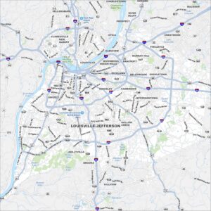
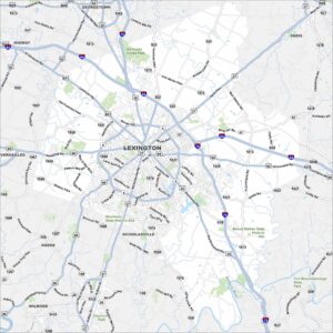
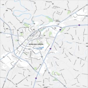
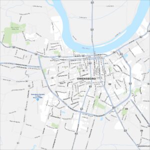
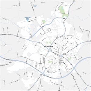
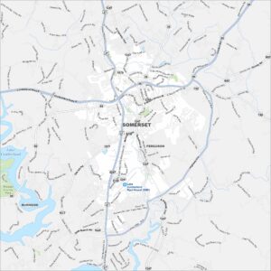
Here are Kentucky’s cities in full detail