Satellite Map of Connecticut
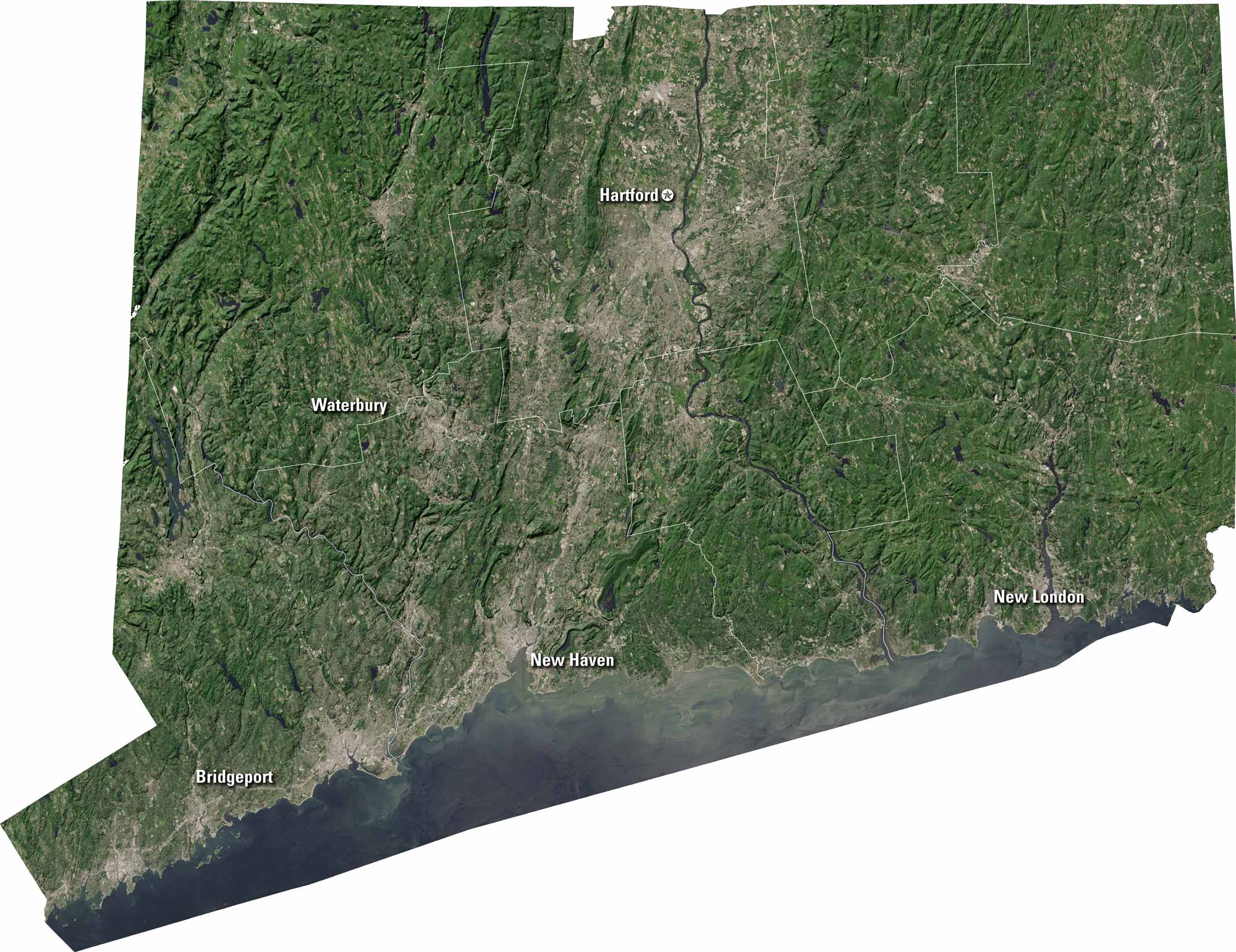
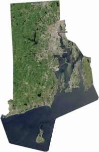
Connecticut is compact, with cities and countryside close together. Our satellite map shows Hartford, New Haven, and coastal towns along Long Island Sound. You can see the Connecticut River winding through the state. It’s a mix of urban centers and green hills.
Map Information
On the Map
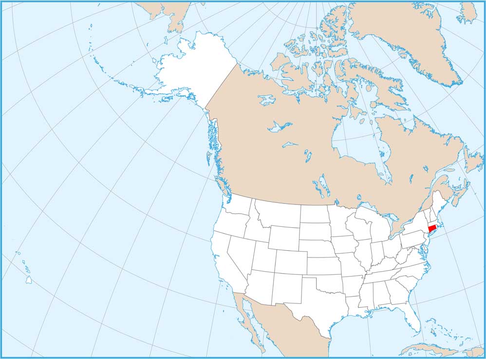
Neighboring State Maps
Find satellite map of neighboring states