Satellite Map of Colorado
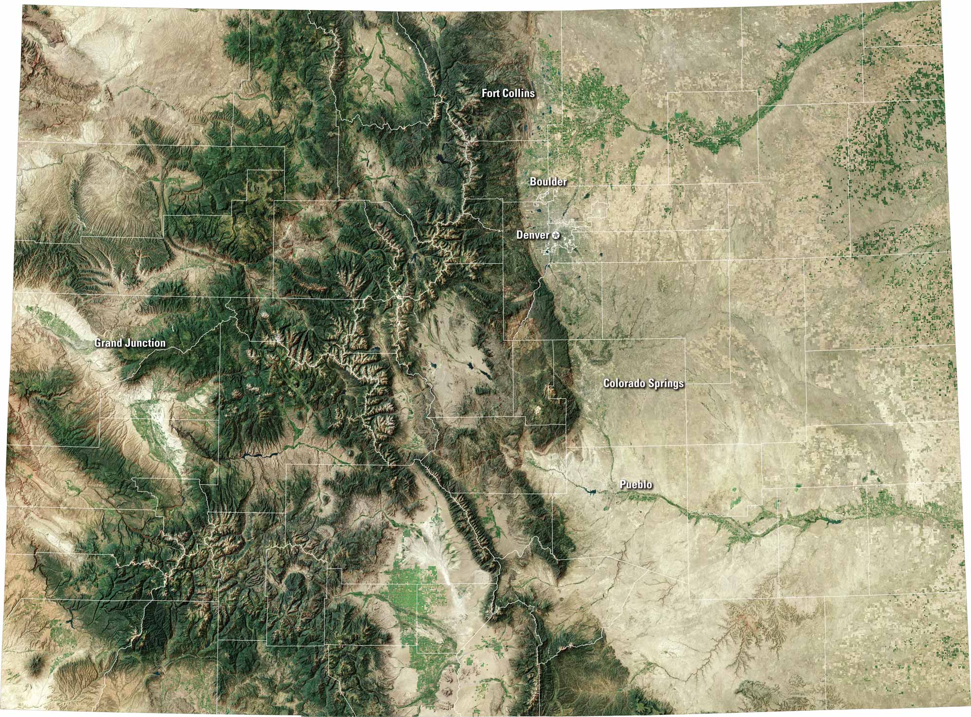
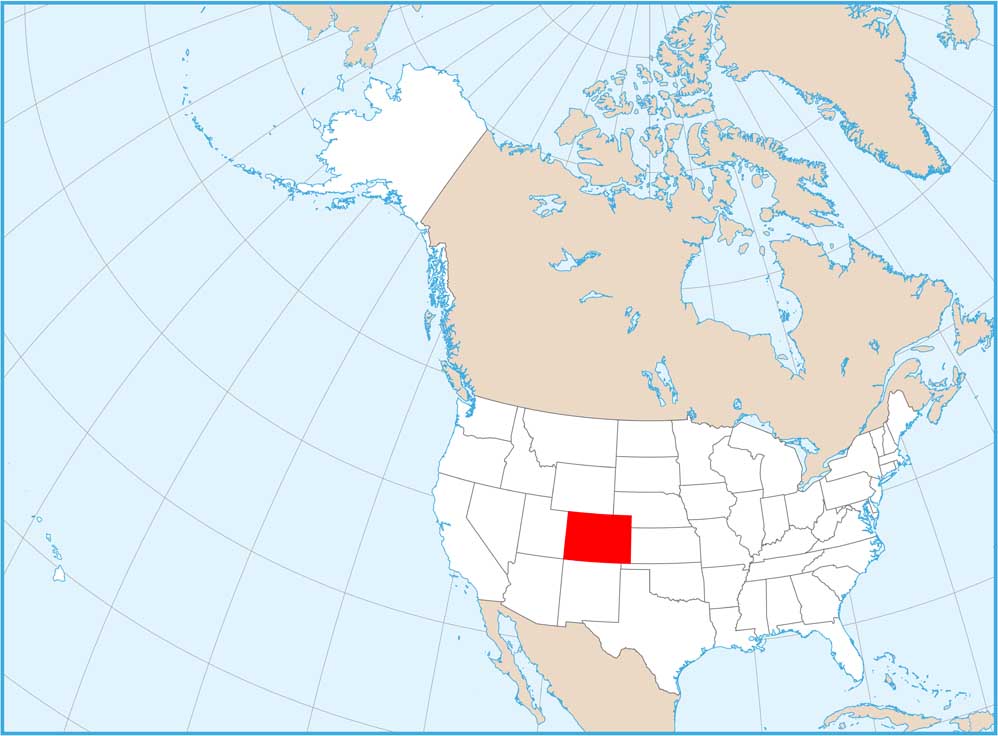
Colorado bursts with variety. Our satellite map shows the capital of Denver, the Rocky Mountains to the west, and wide plains to the east. There are ski towns, deep canyons and the Colorado River too. It’s a state with city life and wild landscapes.
Map Information
On the Map
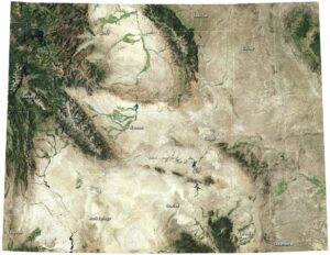
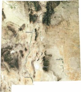
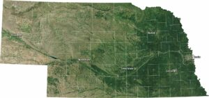
Neighboring State Maps
Find satellite map of neighboring states