Map of Chicago Heights, Illinois
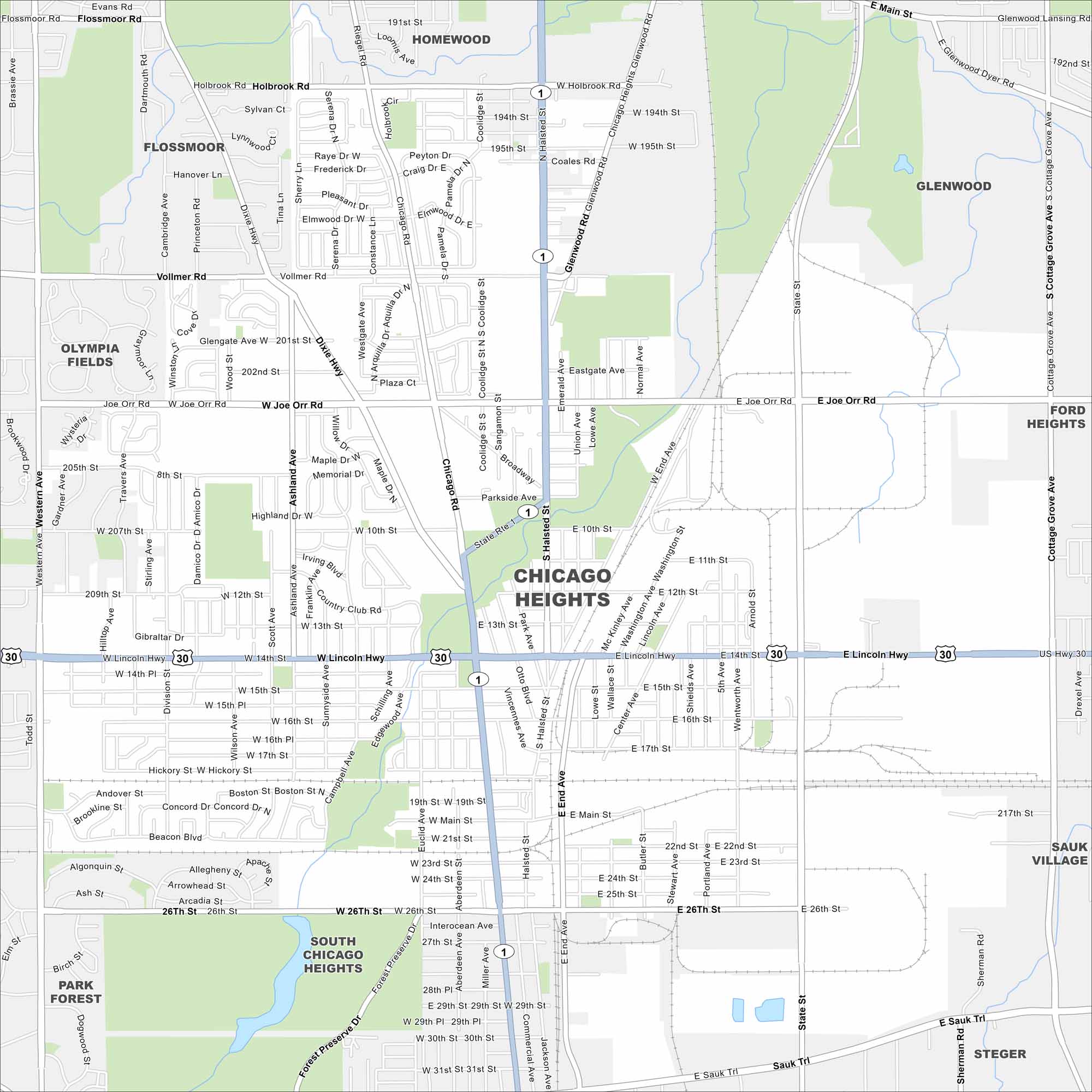
Chicago Heights sits south of the city, where major routes like Halsted Street and Lincoln Highway cross. Industry and old rail lines still leave their mark on the layout. It’s tied closely to the Calumet region.
Illinois State Maps
Get to know Illinois with our state maps


Map Information
On the Map
Interstates/Highways: US Hwy 30, State Rte 1, Lincoln Hwy, Dixie Hwy Major Roads: Halsted St, Chicago Rd, Vollmer Rd, Joe Orr Rd, 26th St, Sauk Trl, Ashland Ave, Western Ave, State St, Cottage Grove Ave, Main St, 14th St, 10th St, Glenwood Rd, Holbrook Rd, 191st St, 211th St, 217th St Nearby Communities: Flossmoor, Homewood, Glenwood, Ford Heights, Sauk Village, Steger, South Chicago Heights, Park Forest, Olympia FieldsIllinois City Maps
Explore Chicago and urban regions of Illinois


