Chestnut Hill Map, Philadelphia
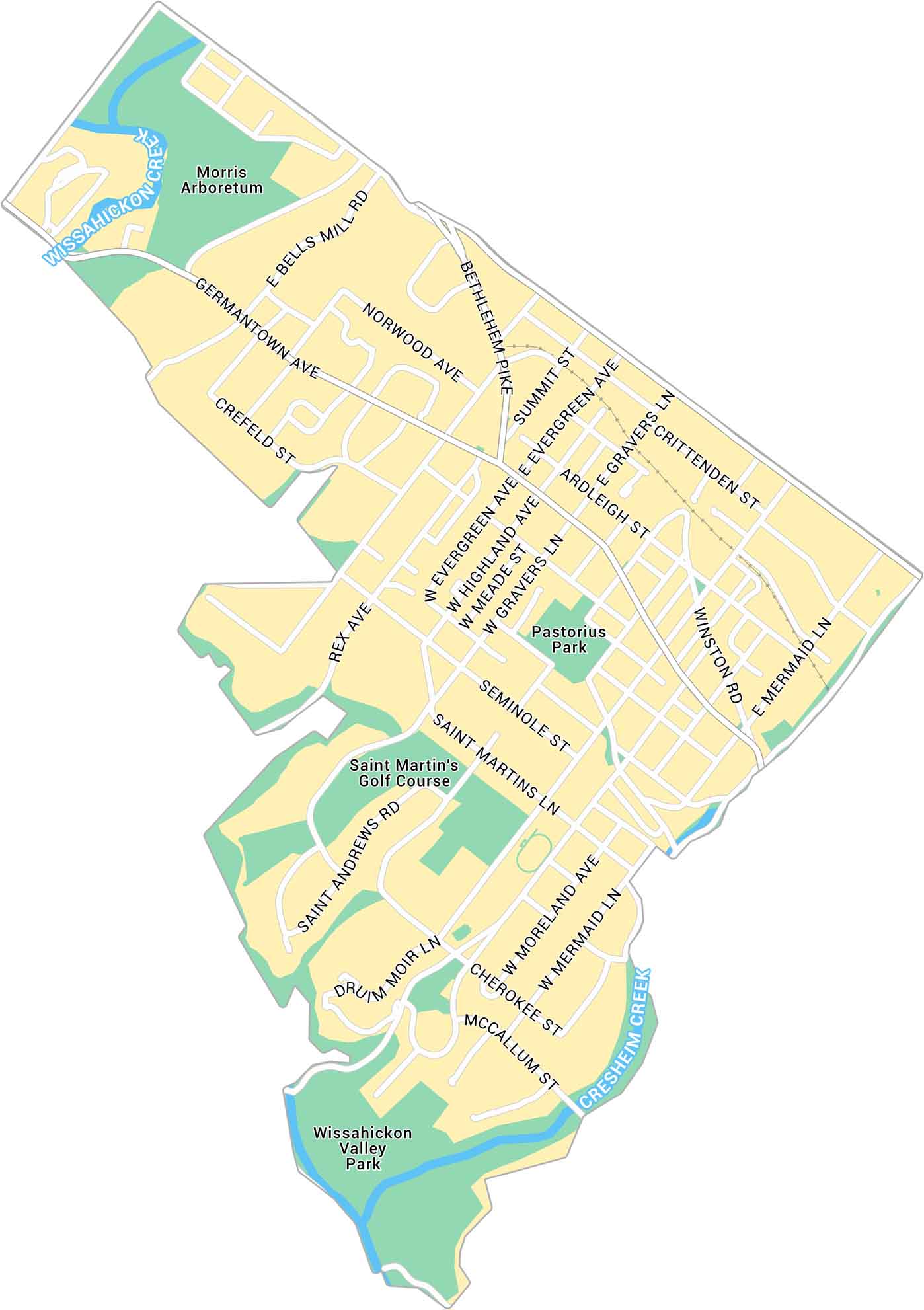
Our map of Chestnut Hill highlights the business district in northwest Philadelphia. You’ll also find local parks and streets connecting to Mount Airy and Wissahickon Valley Park.
Map Information
Our map of Chestnut Hill highlights the business district in northwest Philadelphia. You’ll also find local parks and streets connecting to Mount Airy and Wissahickon Valley Park.
Map Information