Map of Mount Pleasant, South Carolina
Our map of Mount Pleasant highlights its spot along Charleston Harbor. Bridges, waterways, and neighborhoods define the city’s layout.
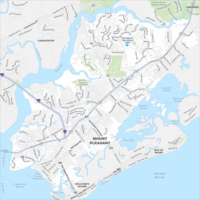
Our map of Mount Pleasant highlights its spot along Charleston Harbor. Bridges, waterways, and neighborhoods define the city’s layout.
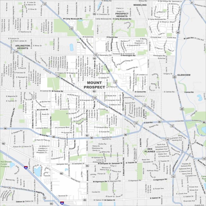
Explore Mount Prospect with our map. It’s one of the larger Chicago suburbs. You’ll notice its access to major highways.
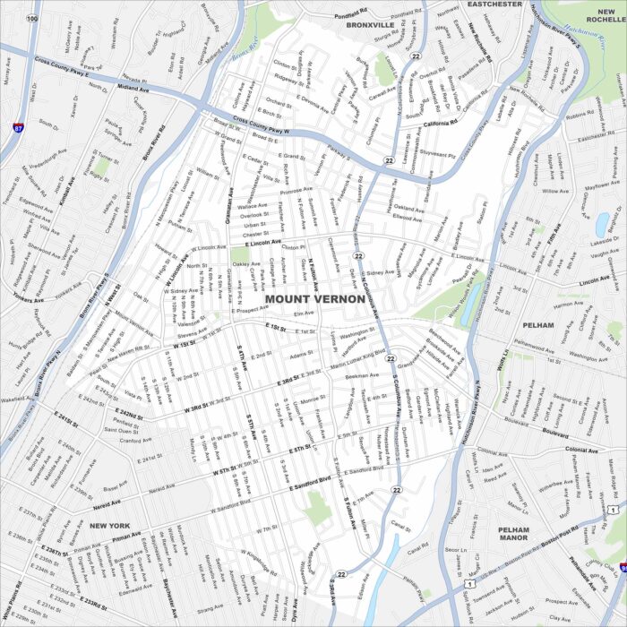
Mount Vernon lies just north of the Bronx. Our map shows a dense urban layout, with major rail lines cutting through.
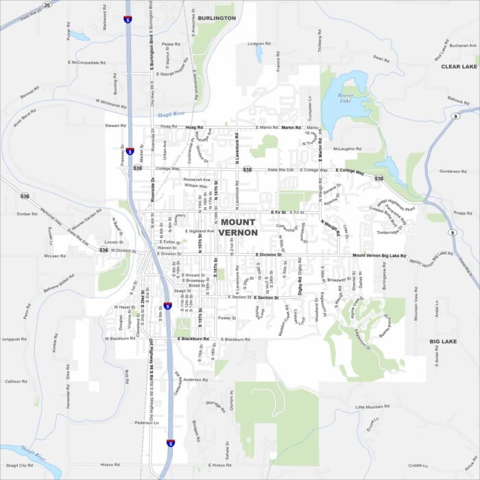
Take a look at Mount Vernon on our map. Located in Skagit County, you’ll notice the Skagit River running right through town.
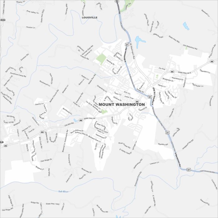
Our map of Mount Washington displays this growing suburb southeast of Louisville. Residential areas spread outward.
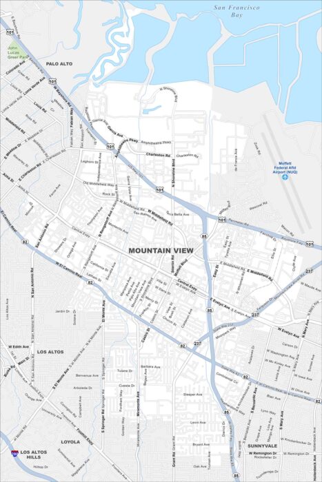
Mountain View sits in the heart of Silicon Valley. Our map highlights its highways, roads, neighborhoods, and bayfront shoreline.
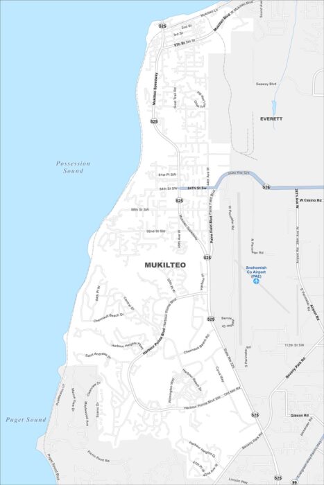
Check out Mukilteo with our map of Puget Sound. It’s not too populated here with neighborhoods stretching up into forested hills.
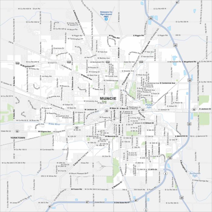
Muncie is mapped out with Ball State University at its center. Surrounding it are neighborhoods, parks, and industry.
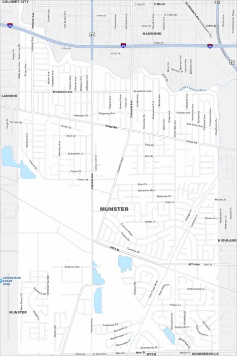
Our map of Munster shows this suburb situated in northwest Indiana. Chicago’s influence just to the west. It’s part of the Calumet Region.
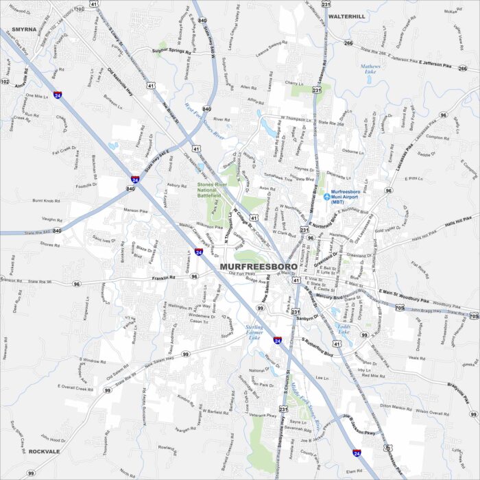
Discover Murfreesboro on our map of Middle Tennessee. The downtown square, parks and major highways stand out the most.
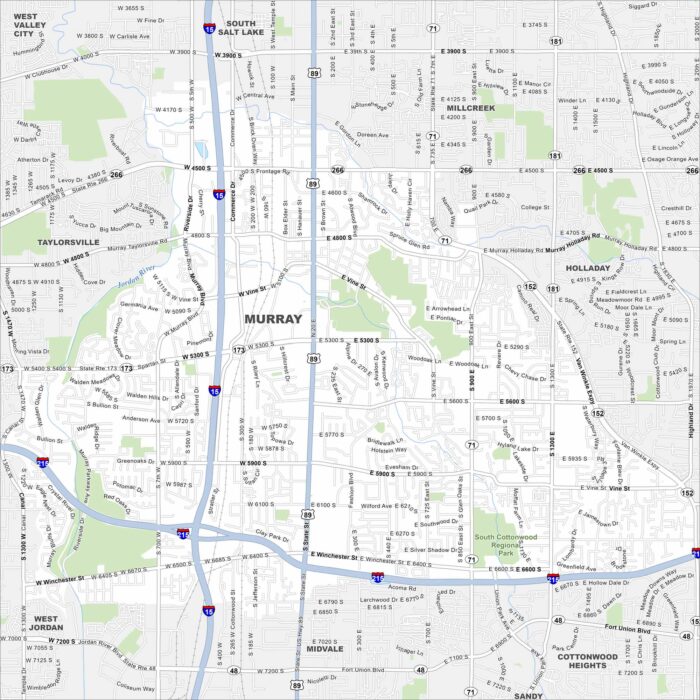
Our map of Murray shows a city in the Salt Lake Valley. Major highways cross through, with neighborhoods tucked between its roads.
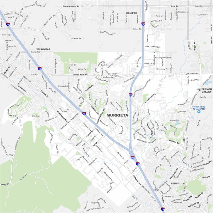
Explore Murrieta with our map to see everything it has. The city is connected by Interstate 15, linking it to Temecula and Riverside.
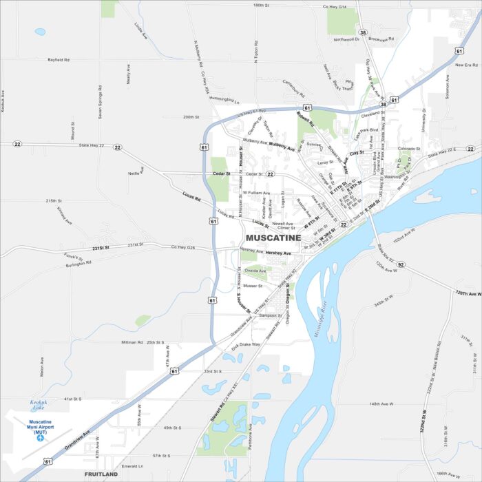
Muscatine sits on the Mississippi River in eastern Iowa. Our map highlights its riverfront, downtown streets, and surrounding parks.
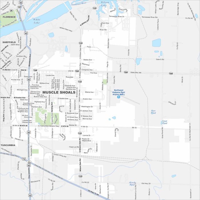
Take a look at Muscle Shoals with our map of northern Alabama. It’s world famous for its recording studios.
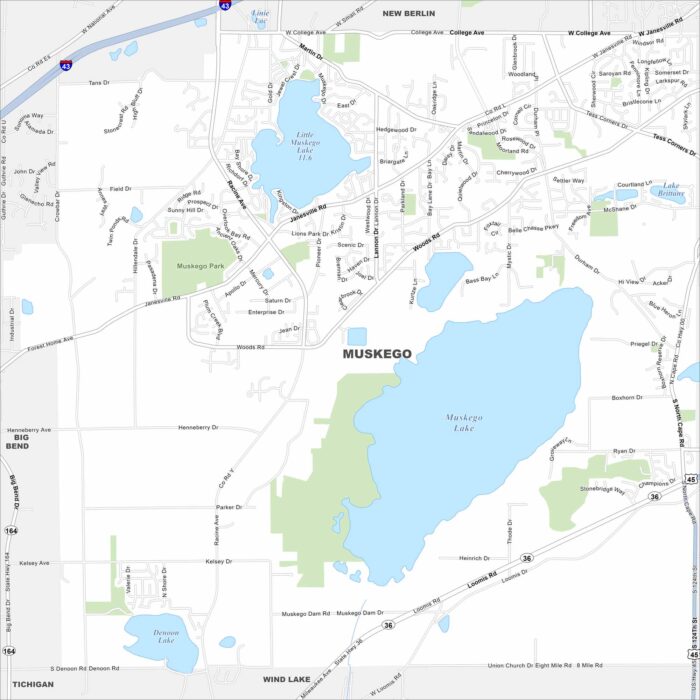
Our map of Muskego outlines a city southwest of Milwaukee. Lakes and wetlands break up much of the suburban layout.