Map of Calumet City, Illinois
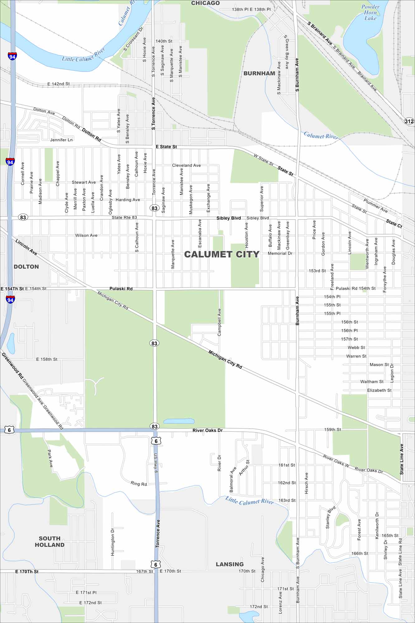
Calumet City is part of Chicago’s south suburbs. Our map shows the Little Calumet River running through and industrial zones nearby. It’s long been tied to steel and shipping industries.
Illinois State Maps
Get to know Illinois with our state maps


Map Information
On the Map
Interstates/Highways: I-94, US Hwy 6, State Rte 83 Major Roads: Sibley Blvd, Torrence Ave, Burnham Ave, River Oaks Dr, 159th St, 170th St, Pulaski Rd, Michigan City Rd, State St, Dolton Ave, 142nd St, 154th St, 163rd St, 167th St, Memorial Dr, State Line Rd, Yates Ave, Calhoun Ave, Wentworth Ave, Hirsch Ave Lakes and Reservoirs: Powder Horn Lake Major Rivers: Little Calumet River, Calumet River Nearby Communities: Chicago, Burnham, Dolton, South Holland, LansingIllinois City Maps
Explore Chicago and urban regions of Illinois


