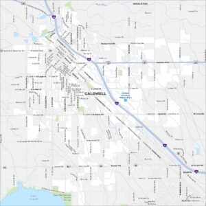
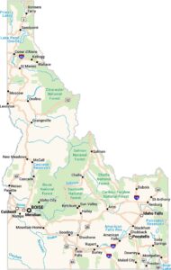
Map of Caldwell, Idaho

Our map of Caldwell shows the city in the Treasure Valley, west of Boise. The Boise River and farmland stretch around it. Caldwell is part of Idaho’s wine country because of its ideal climate.


Map Information
On the Map
Interstates/Highways: I-84, US Hwy 20, US Hwy 26, State Rte 19, State Rte 55 Major Roads: Cleveland Blvd, Karcher Rd, 10th Ave, Kimball Ave, Simplot Blvd, Franklin Rd, Ustick Rd, Homedale Rd, Middleton Rd, Indiana Ave, Montana Ave, Illinois Ave, 21st Ave, Chicago St, Freeport St, Marble Front Rd, Kcid Rd, Ward Rd, Linden Rd, Aviation Way Airports: Caldwell Industrial Airport (EUL) Lakes and Reservoirs: Lake Lowell Major Rivers: Boise River Parks and Preserves: Deer Flat National Wildlife Refuge Nearby Communities: Middleton, NampaIdaho City Maps
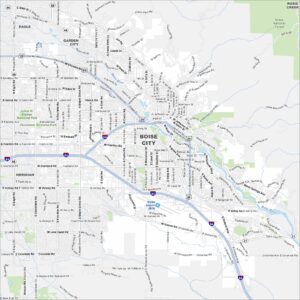
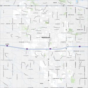
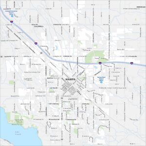
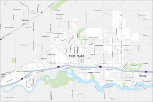
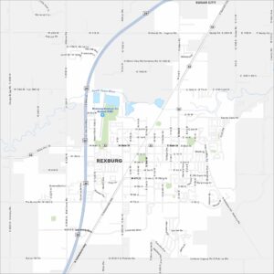
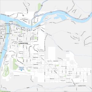
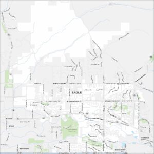
Boise and Idaho city maps right when you need them most