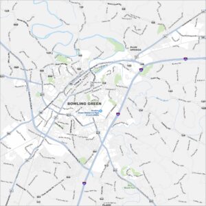
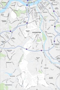
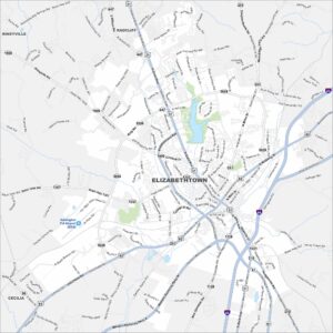
Map of Bowling Green, Kentucky
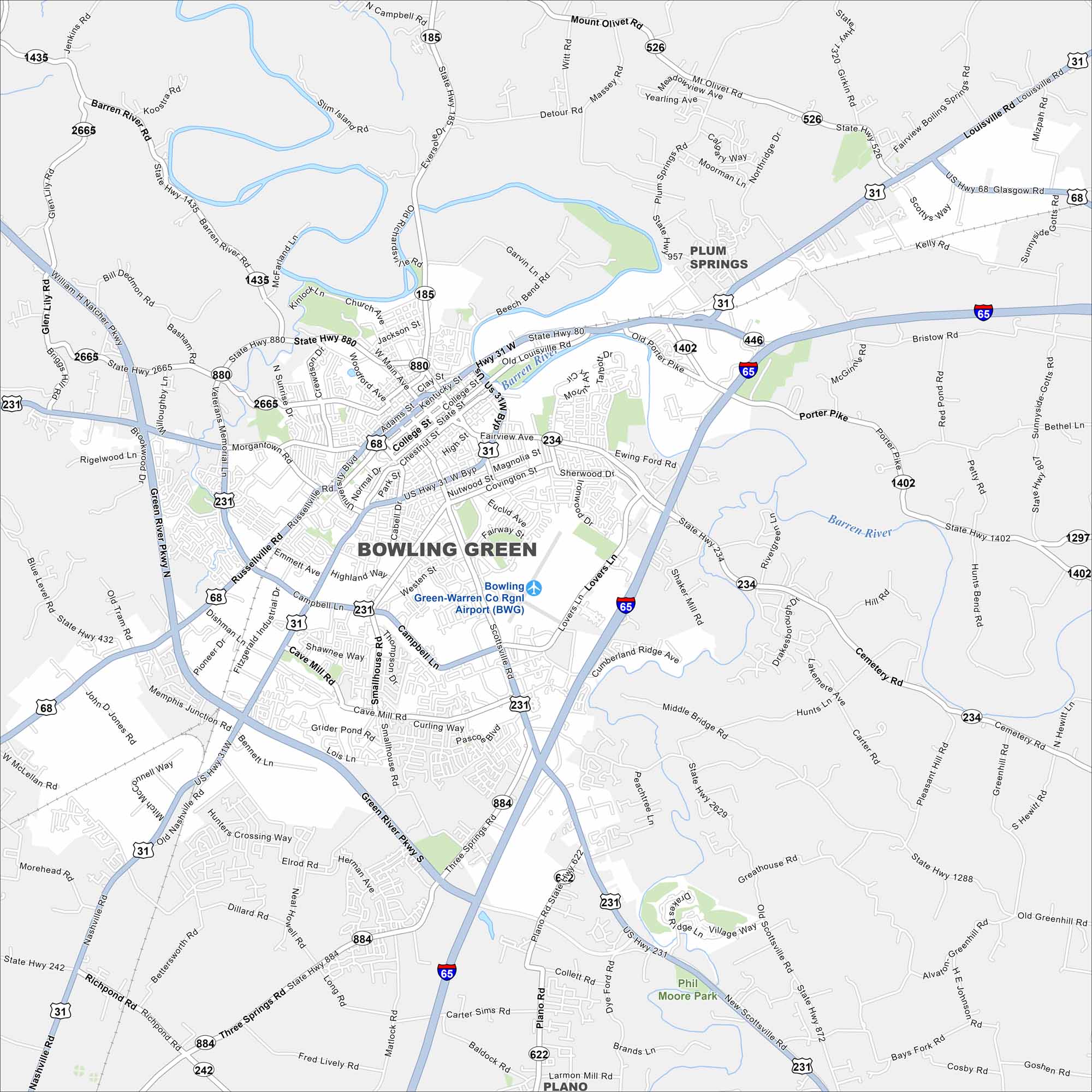
Bowling Green is home to hills, caves, and the Corvette Museum. Our map shows how the city spreads along the river. It’s lively because of its university and industry.
Kentucky State Maps
Our Kentucky maps reveal the Bluegrass State


Map Information
On the Map
Interstates/Highways: I-65, US Hwy 231, US Hwy 31W, US Hwy 68, State Rte 880, State Rte 185, State Rte 446, State Rte 234, State Rte 884, State Rte 622, State Rte 242, State Rte 526, State Rte 1435, State Rte 2665, State Rte 1402, State Rte 1297, State Rte 807, State Rte 1288, State Rte 872 Major Roads: Russellville Rd, Scottsville Rd, Nashville Rd, Louisville Rd, Campbell Ln, University Blvd, Fairview Ave, Cave Mill Rd, Lovers Ln, Cemetery Rd, Morgantown Rd, Green River Pkwy, Veterans Memorial Ln, Three Springs Rd, Smallhouse Rd, Dishman Ln, Glen Lily Rd, Old Louisville Rd, Chestnut St, College St Airports: Bowling Green-Warren Co Rgnl Airport (BWG) Major Rivers: Barren River Parks and Preserves: Phil Moore Park Nearby Communities: Plum Springs, PlanoCity Maps of Kentucky
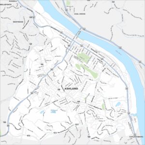
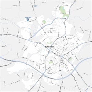
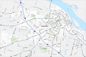
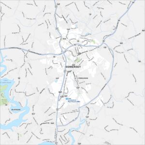
Here are Kentucky’s cities in full detail