Map of Bountiful, Utah
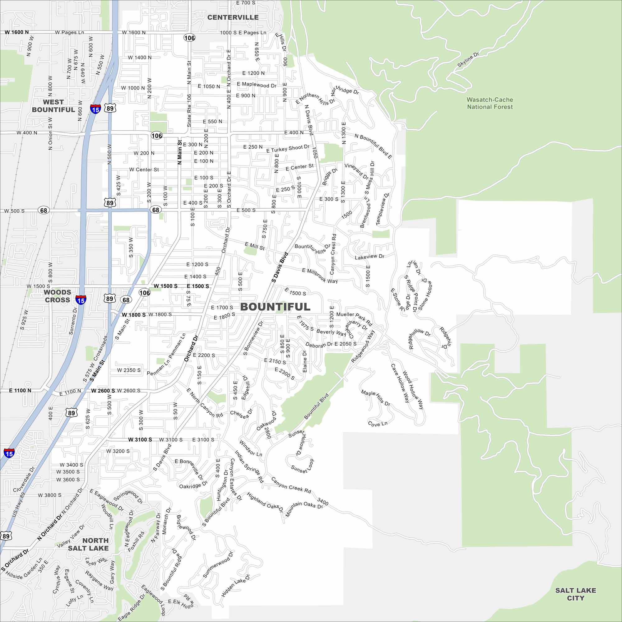
See Bountiful with our map. It’s located just north of Salt Lake City. The Wasatch Mountains rise steeply behind the city. It’s a commuter city but keeps its own identity.
Map Information
On the Map
Interstates/Highways: I-15, US Hwy 89, State Rte 106, State Rte 68 Major Roads: Main St, Orchard Dr, Davis Blvd, Pages Ln, 400 North St, 500 South St, 1500 South St, 1800 South St, 2600 South St, 3100 South St, 400 East St, 800 East St, Bountiful Blvd, Mueller Park Rd, Canyon Creek Rd, Eagle Ridge Dr, Valley View Dr, Skyline Dr, Mill St, 200 West St Lakes and Reservoirs: Hidden Lake Parks and Preserves: Wasatch-Cache National Forest Nearby Communities: Centerville, West Bountiful, Woods Cross, North Salt Lake, Salt Lake CityUtah State Maps
Look through maps of deserts, parks, and cities.


City Maps of Utah
Here is Salt Lake City and Utah’s urban regions.


