Map of Bloomingdale, Illinois
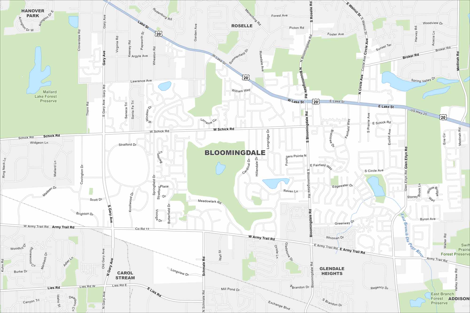
Our map of Bloomingdale highlights its highways, streets, and open park spaces. Roads link into the Chicago area but the village keeps a suburban feel. Bloomingdale is part of DuPage County and known for its forest preserves.
Illinois State Maps
Get to know Illinois with our state maps


Map Information
On the Map
Interstates/Highways: US Hwy 20, State Rte 64 Major Roads: Lake St, Army Trail Rd, Schick Rd, Gary Ave, Bloomingdale Rd, Glen Ellyn Rd, Lies Rd, Springfield Dr, Roselle Rd, Medinah Rd, Rodenburg Rd Major Rivers: East Branch Du Page River Parks and Preserves: Mallard Lake Forest Preserve, Swift Prairie Forest Preserve, East Branch Forest Preserve Nearby Communities: Hanover Park, Roselle, Carol Stream, Glendale Heights, AddisonIllinois City Maps
Explore Chicago and urban regions of Illinois


