Map of Bartlett, Illinois

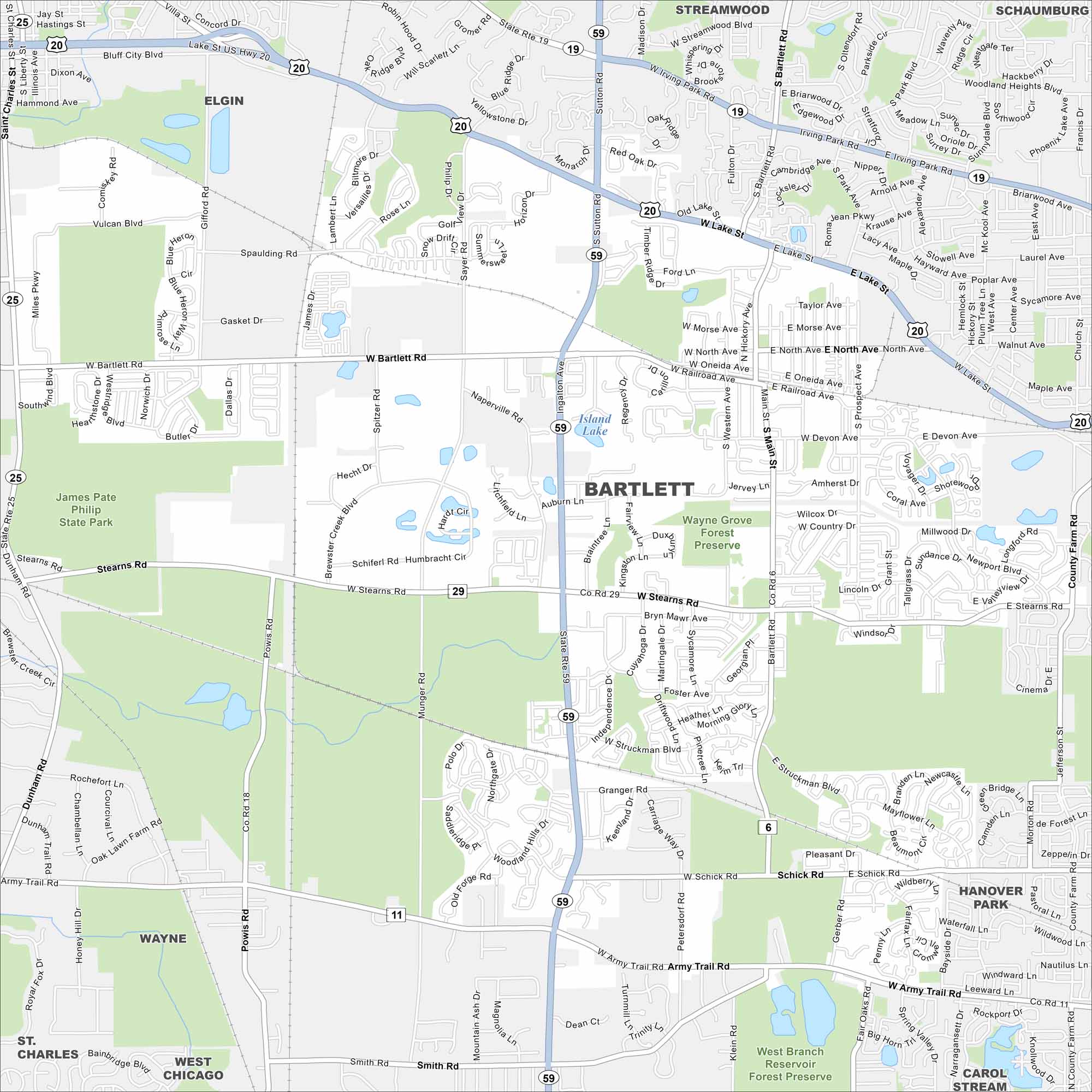
Check out Bartlett, home to forest preserves and open spaces. Enjoy both suburban living and nature. Find it all on our Bartlett map.
Illinois State Maps
Get to know Illinois with our state maps
Map Information
On the Map
Interstates/Highways: US Hwy 20, State Rte 59, State Rte 19 Major Roads: Bartlett Rd, Lake St, Stearns Rd, Army Trail Rd, Munger Rd, Schick Rd, Devon Ave, North Ave, Prospect Ave, Western Ave, Main St, Sutton Rd, Gifford Rd, Naperville Rd, Powis Rd, Dunham Rd, Smith Rd, Petersdorf Rd, Gerber Rd, Fairfax Ln Lakes and Reservoirs: Island Lake Parks and Preserves: James Pate Philip State Park, Wayne Grove Forest Preserve, West Branch Reservoir Forest Preserve Nearby Communities: Elgin, Streamwood, Schaumburg, Hanover Park, Carol Stream, West Chicago, St. Charles, WayneIllinois City Maps
Explore Chicago and urban regions of Illinois


