Map of Atlanta, Georgia
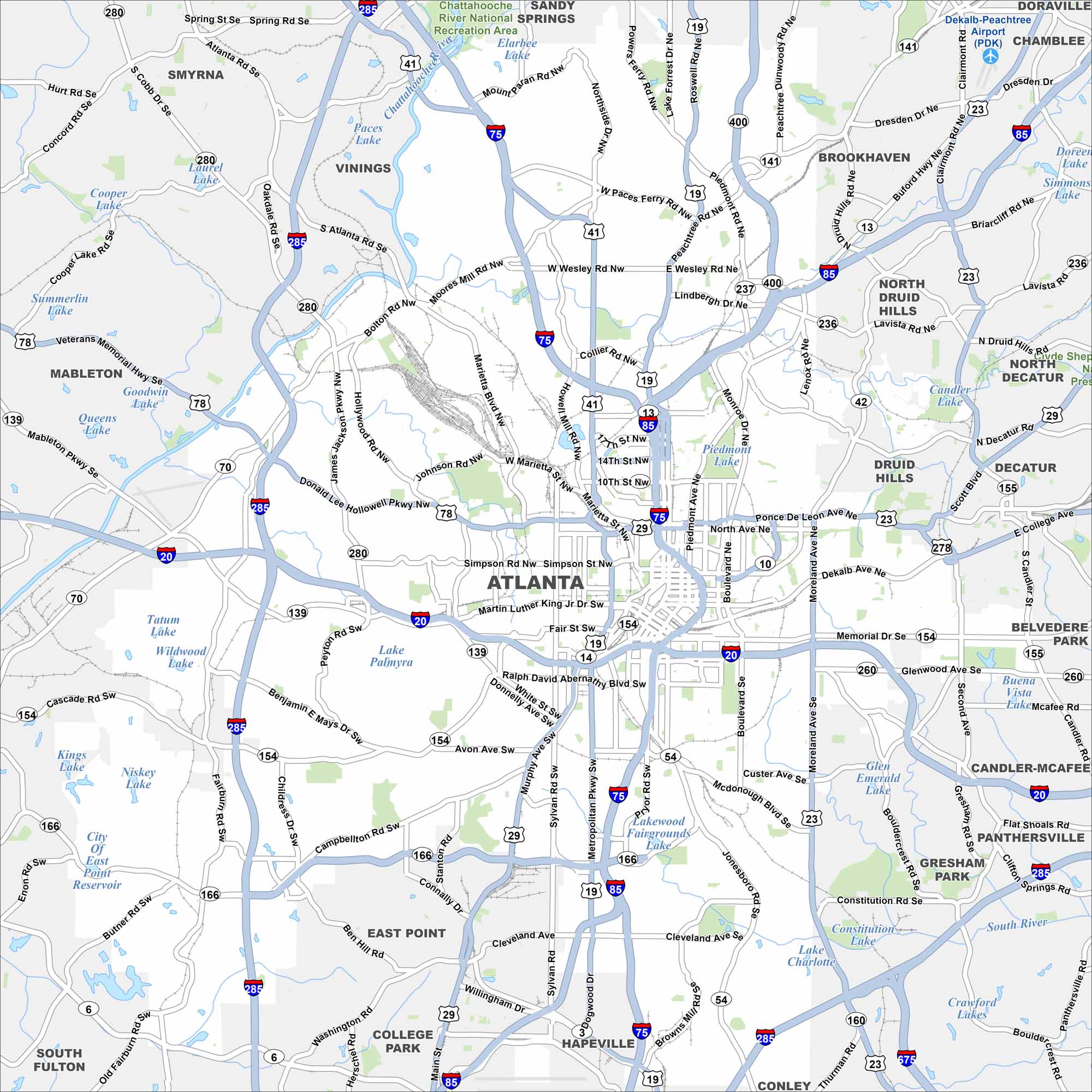
Atlanta is mapped with its highways, streets, and tree-filled spaces. You can see how the interstates connect with the downtown area. Atlanta is called the “Capital of the South”.
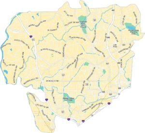
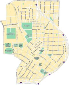
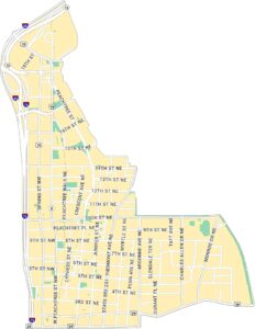
Atlanta Neighborhood Maps
See our neighborhood maps for a closer look of the city.
Georgia State Maps
Browse through our Georgia map collection


Map Information
On the Map
Interstates/Highways: I-75, I-85, I-20, I-285, I-675, US Hwy 41, US Hwy 19, US Hwy 29, US Hwy 78, State Rte 400, State Rte 166, State Rte 141, State Rte 154, State Rte 155, State Rte 10, State Rte 13, State Rte 139, State Rte 23, State Rte 42, State Rte 54 Major Roads: Peachtree Rd, Piedmont Ave, North Ave, Ponce De Leon Ave, Memorial Dr, Moreland Ave, Martin Luther King Jr Dr, Marietta St, Donald Lee Hollowell Pkwy, Cascade Rd, Campbellton Rd, Cleveland Ave, Jonesboro Rd, Boulevard, Briarcliff Rd, Clairmont Rd, Lenox Rd, Northside Dr, Moores Mill Rd, West Paces Ferry Rd Airports: Dekalb-Peachtree Airport (PDK) Lakes and Reservoirs: Piedmont Lake, Lake Palmyra, Lake Charlotte, South River, Niskey Lake, Kings Lake, Wildwood Lake, Tatum Lake, Queens Lake, Summerlin Lake, Cooper Lake, Laurel Lake, Paces Lake, Elarbee Lake Parks and Preserves: Chattahoochee River National Recreation Area Nearby Communities: Smyrna, Vinings, Sandy Springs, Brookhaven, Chamblee, Doraville, North Druid Hills, Decatur, Druid Hills, Belvedere Park, Candler-McAfee, Panthersville, Gresham Park, Conley, Hapeville, College Park, East Point, South Fulton, MabletonGeorgia City Maps
Get to know Atlanta and Georgia’s urban areas


