Satellite Map of Arkansas
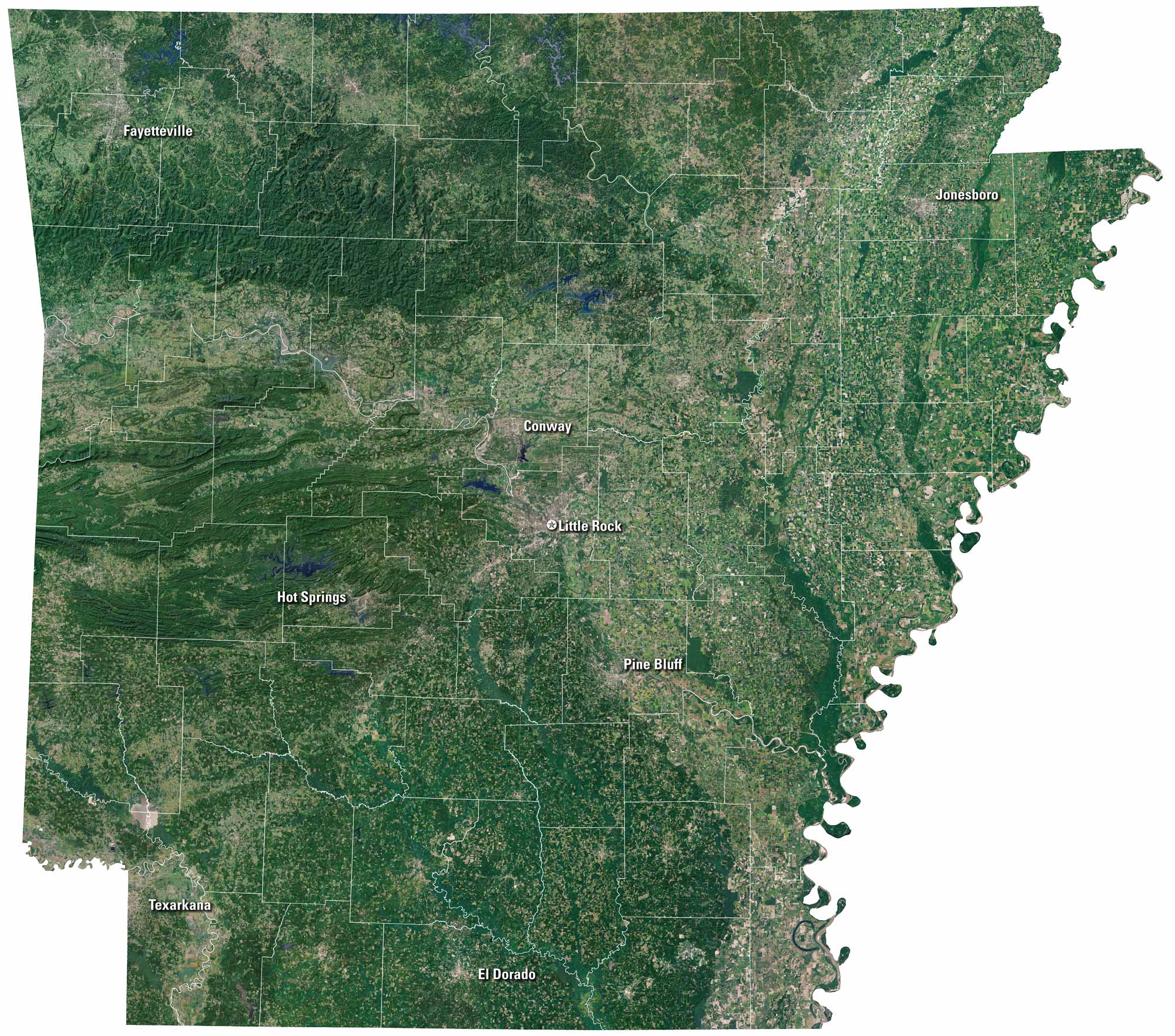
On our satellite map of Arkansas, you’ll notice that green covers most of the state. The Ozark Mountains spread out in the north. Little Rock stands out near the middle. Rivers like the Arkansas cut across the land, winding toward the Mississippi. It feels like a mix of wild country and small cities.
Map Information
On the Map
Neighboring State Maps
Find satellite map of neighboring states


