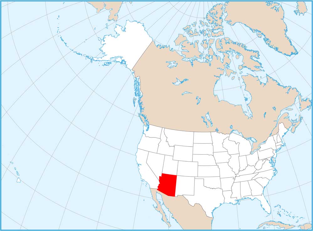
Satellite Map of Arizona
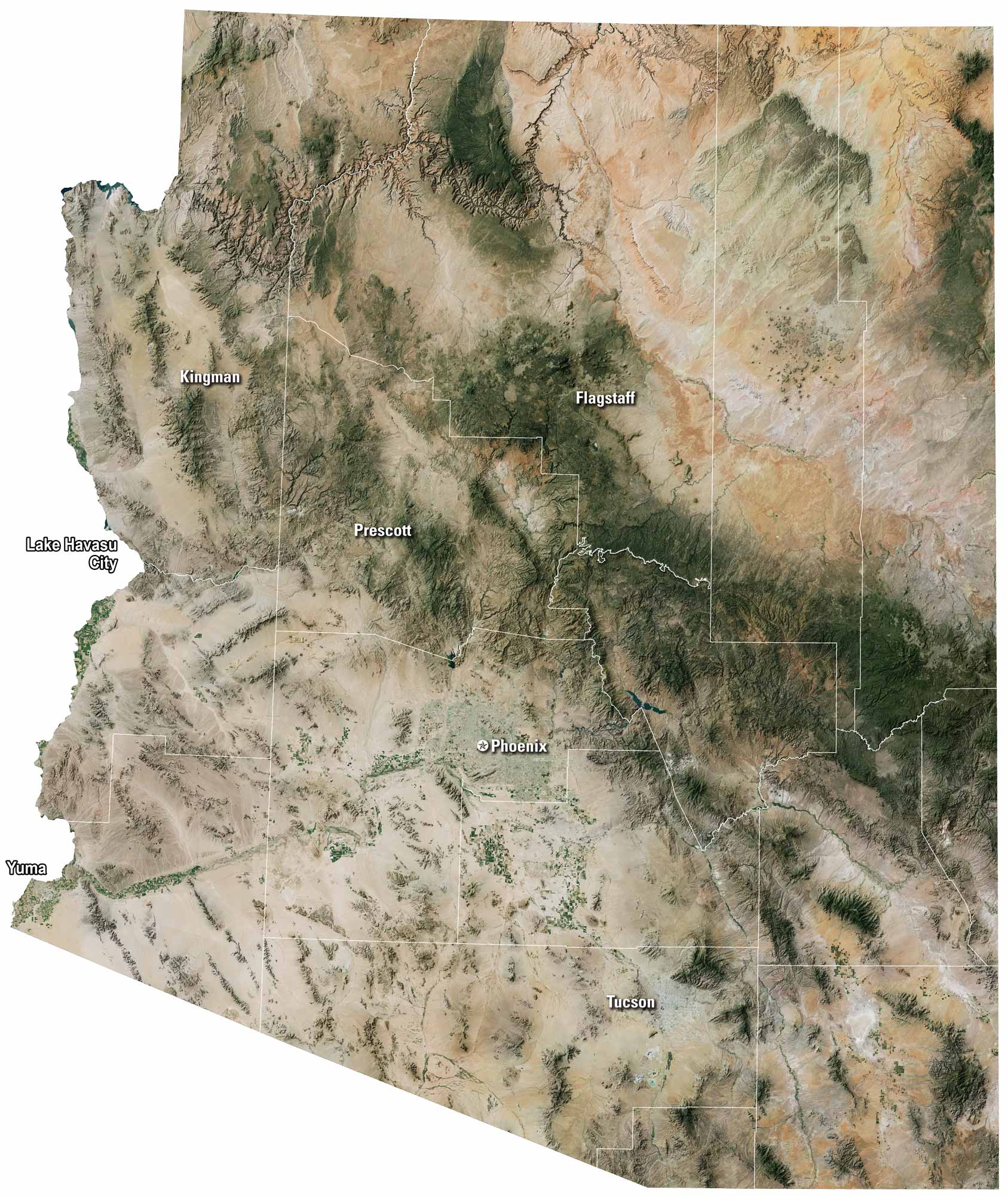
You’ll see a lot of desert in our satellite map of Arizona. It’s wide and dry here with the Grand Canyon cutting deep through the north. Phoenix looks huge in the middle of the state, and Tucson sits lower, close to Mexico. There are patches of green forests up north, but most of the land is brown and open. A few lakes shine blue against the desert.
Map Information
On the Map
Neighboring State Maps
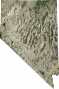
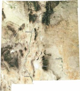
Find satellite map of neighboring states