Map of Anderson, South Carolina
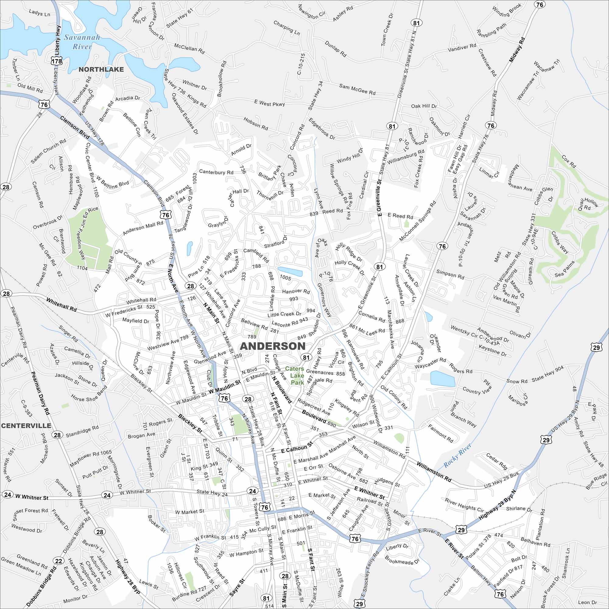
Here’s our map of Anderson, South Carolina. Known as the “Electric City”, Anderson sits near Lake Hartwell. It’s a common gateway to both Clemson and the Blue Ridge foothills.
Map Information
On the Map
Interstates/Highways: US Hwy 76, US Hwy 178, US Hwy 29, State Rte 24, State Rte 28, State Rte 81 Major Roads: Clemson Blvd, Main St, Murray Ave, Greenville St, Whitehall Rd, Liberty Hwy, Williamston Rd, River St, Shockley Ferry Rd, Sayre St, Mauldin Blvd, Bleckley St, Fant St, McDuffie St, Towers St, Market St, Whitner St, Orr St, Calhoun St, Marshall Ave Lakes and Reservoirs: Caters Lake Major Rivers: Savannah River, Rocky River Parks and Preserves: Caters Lake Park Nearby Communities: Northlake, CentervilleSouth Carolina State Maps
Explore maps across the Palmetto State.


City Maps of South Carolina
Find our maps of Charleston and South Carolina cities here


