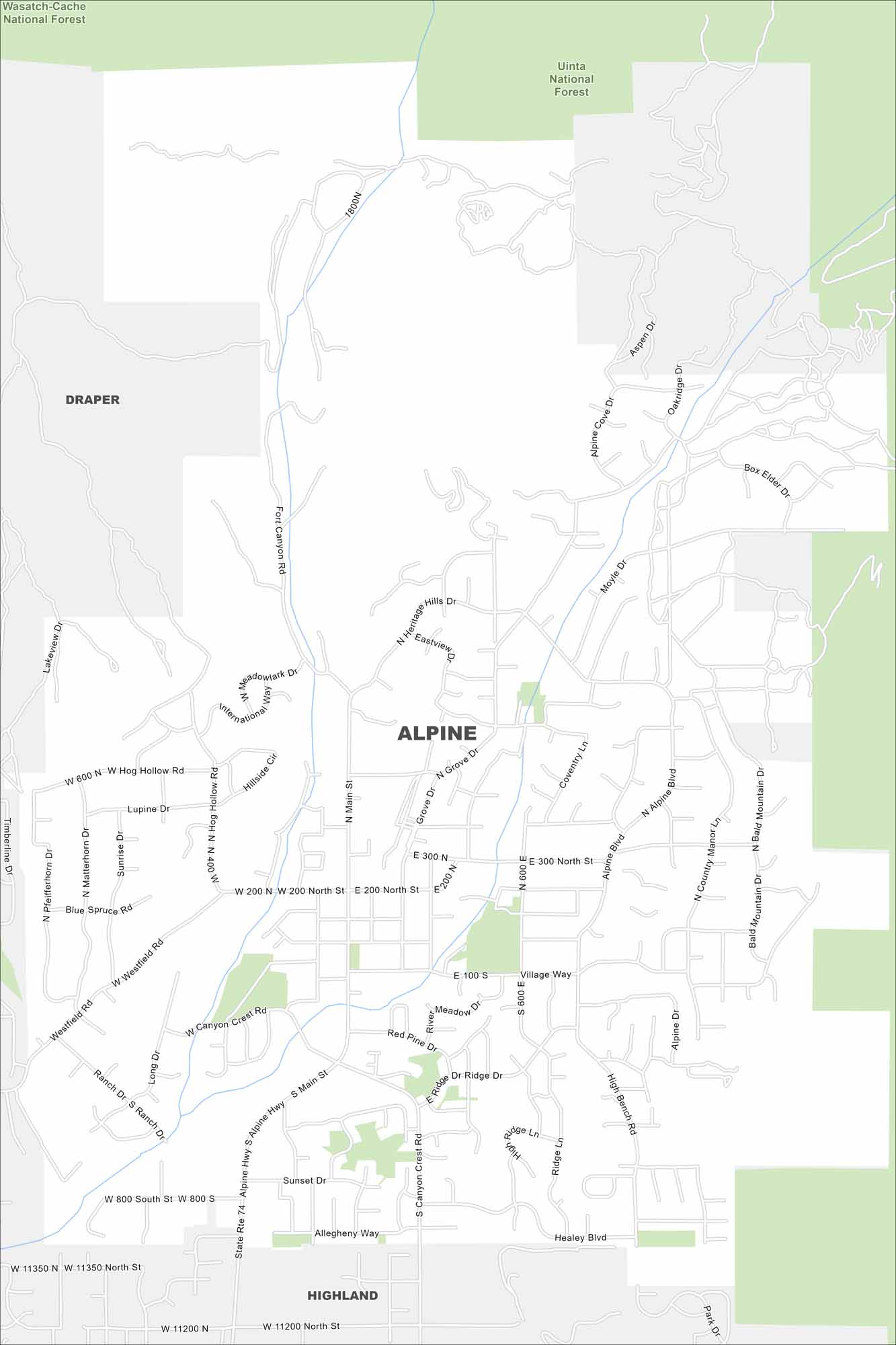
Map of Alpine, Utah
The name says it all. Alpine sits right against the Wasatch Range. This is where suburban roads meet rugged canyon trails. It’s a small city with big views and quick access to outdoor escapes.
Map Information
On the Map
Major Roads: Main St, Alpine Blvd, Canyon Crest Rd, Westfield Rd, Grove Dr, Moyle Dr, Heritage Hills Dr, Hog Hollow Rd, High Bench Rd, Ridge Dr, Country Manor Ln, Bald Mountain Dr, Box Elder Dr, Aspen Dr, Oakridge Dr, Alpine Cove Dr, Fort Canyon Rd, Meadowlark Dr, Hillside Cir, Blue Spruce Rd Parks and Preserves: Wasatch-Cache National Forest, Uinta National Forest Nearby Communities: Draper, HighlandUtah State Maps
Look through maps of deserts, parks, and cities.


City Maps of Utah
Here is Salt Lake City and Utah’s urban regions.


