Map of Algonquin, Illinois
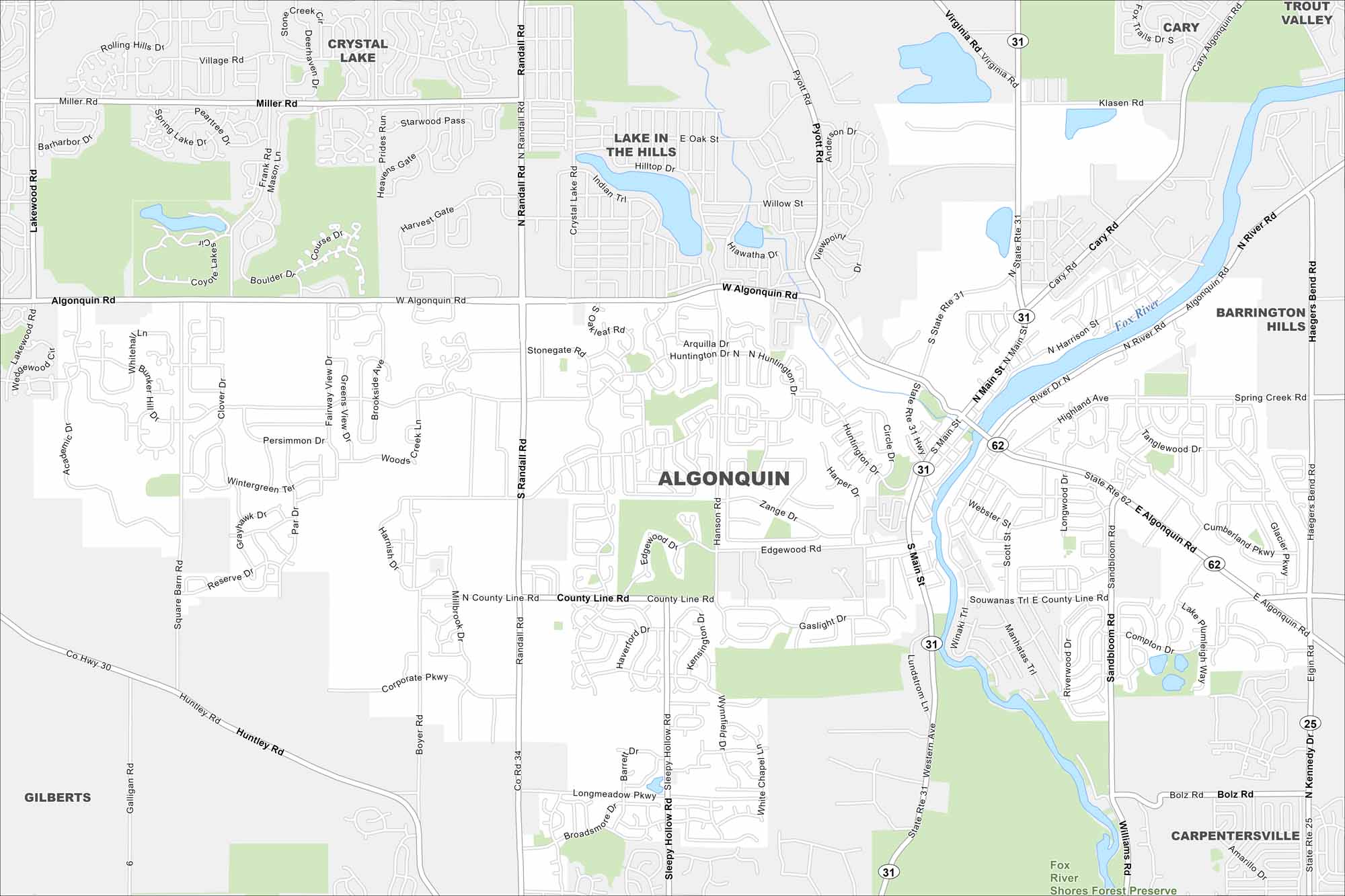
Set along the Fox River, Algonquin has tons of winding roads and open green spaces. Our map shows waterways, highways and local parks.
Illinois State Maps
Get to know Illinois with our state maps


Map Information
On the Map
Interstates/Highways: State Rte 31, State Rte 62, State Rte 25 Major Roads: Algonquin Rd, Randall Rd, Main St, Lake Cook Rd, Pyott Rd, Huntington Dr, Boyer Rd, Longmeadow Pkwy, County Line Rd, Corporate Pkwy, Huntley Rd, Harnish Dr, Sandbloom Rd, Haegers Bend Rd, Miller Rd, River Rd, Highland Ave, Edgewood Rd, Sleepy Hollow Rd, Western Ave Major Rivers: Fox River Parks and Preserves: Fox River Shores Forest Preserve Nearby Communities: Crystal Lake, Lake In The Hills, Cary, Trout Valley, Barrington Hills, Carpentersville, GilbertsIllinois City Maps
Explore Chicago and urban regions of Illinois


