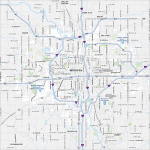
Map of Arkansas City, Kansas
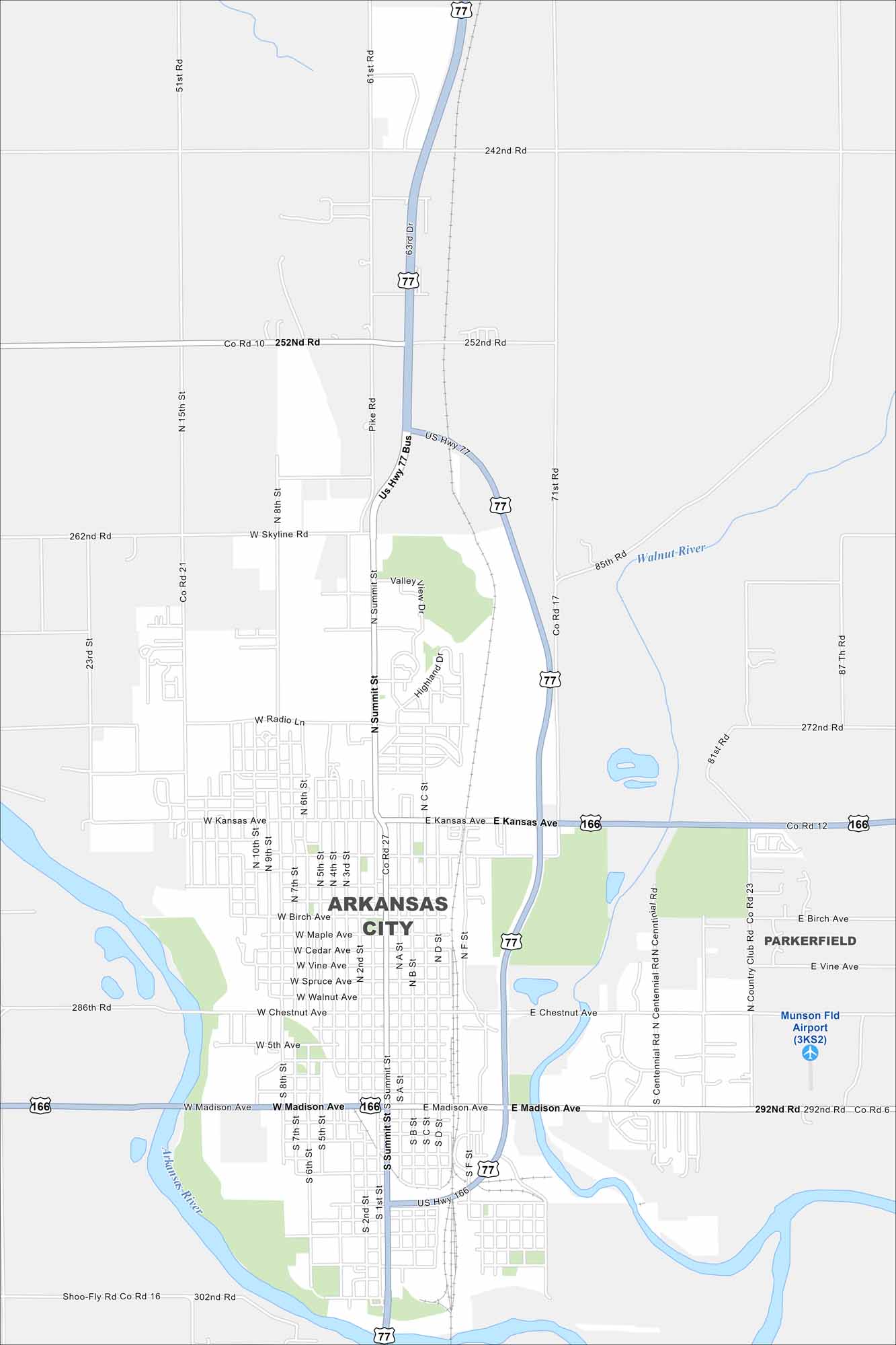
Not to be confused with the state of Arkansas. But Arkansas City sits at the meeting of the Arkansas and Walnut Rivers in Kansas. We’ve mapped it out including its highways, railways, and rivers. The city is often called Ark City.
Kansas State Maps
Explore every corner of Kansas with our state maps


Map Information
On the Map
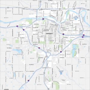
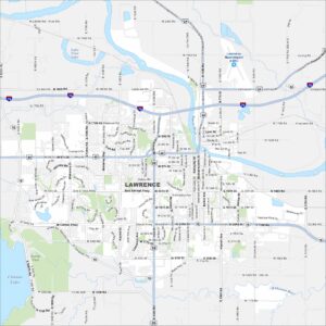
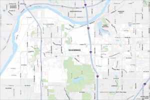
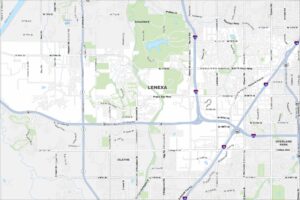
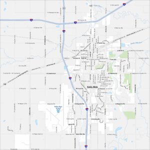
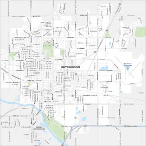
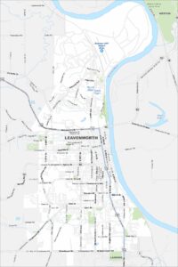
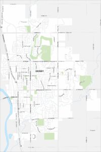
Interstates/Highways: US Hwy 77, US Hwy 166 Major Roads: Summit St, Madison Ave, Kansas Ave, Radio Ln, Skyline Rd, 252nd Rd, 262nd Rd, 272nd Rd, 286th Rd, 292nd Rd, 302nd Rd, Country Club Rd, Centennial Rd, 15th St, 8th St, 61st Rd, 71st Rd, 87th Rd, Pike Rd Airports: Munson Fld Airport (3KS2) Major Rivers: Arkansas River, Walnut River Nearby Communities: ParkerfieldCity Maps of Kansas
See our maps of Wichita and other urban centers