Map of Ashland, Kentucky
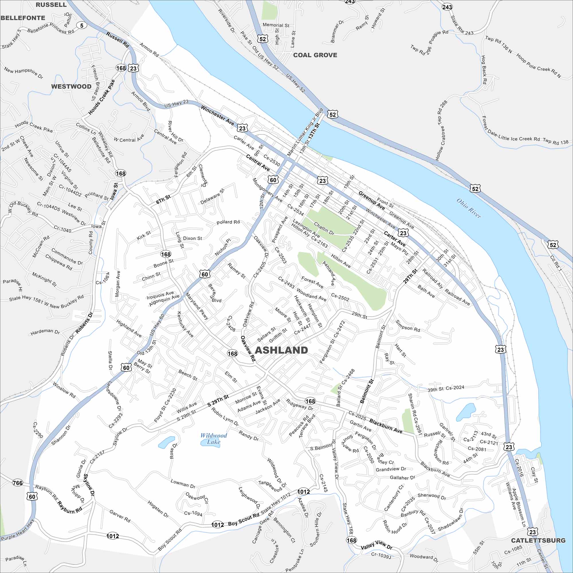
Our map of Ashland shows its highways, parks, and waterways. Roads and railways follow the Ohio River but also connect deep into eastern Kentucky. Ashland is known as an old steel town.
Kentucky State Maps
Our Kentucky maps reveal the Bluegrass State


Map Information
On the Map
Interstates/Highways: US Hwy 23, US Hwy 60, US Hwy 52, State Rte 168, State Rte 1012, State Rte 766, State Rte 243, State Rte 5 Major Roads: Winchester Ave, Central Ave, 13th St, 29th St, Oakview Rd, 12th St, Carter Ave, Montgomery Ave, Greenup Ave, Blackburn Ave, Boyd Scout Rd, Roberts Dr, 6th St, 9th St, 18th St, 22nd St, 28th St, Highland Ave Lakes and Reservoirs: Wildwood Lake Major Rivers: Ohio River Nearby Communities: Russell, Bellefonte, Westwood, Coal Grove, CatlettsburgCity Maps of Kentucky
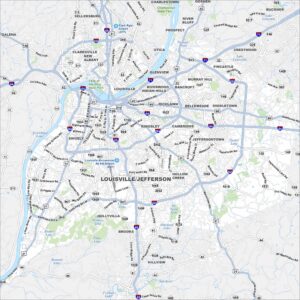
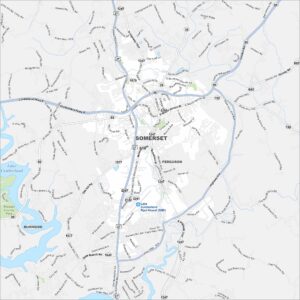
Here are Kentucky’s cities in full detail