Map of Aurora, Illinois
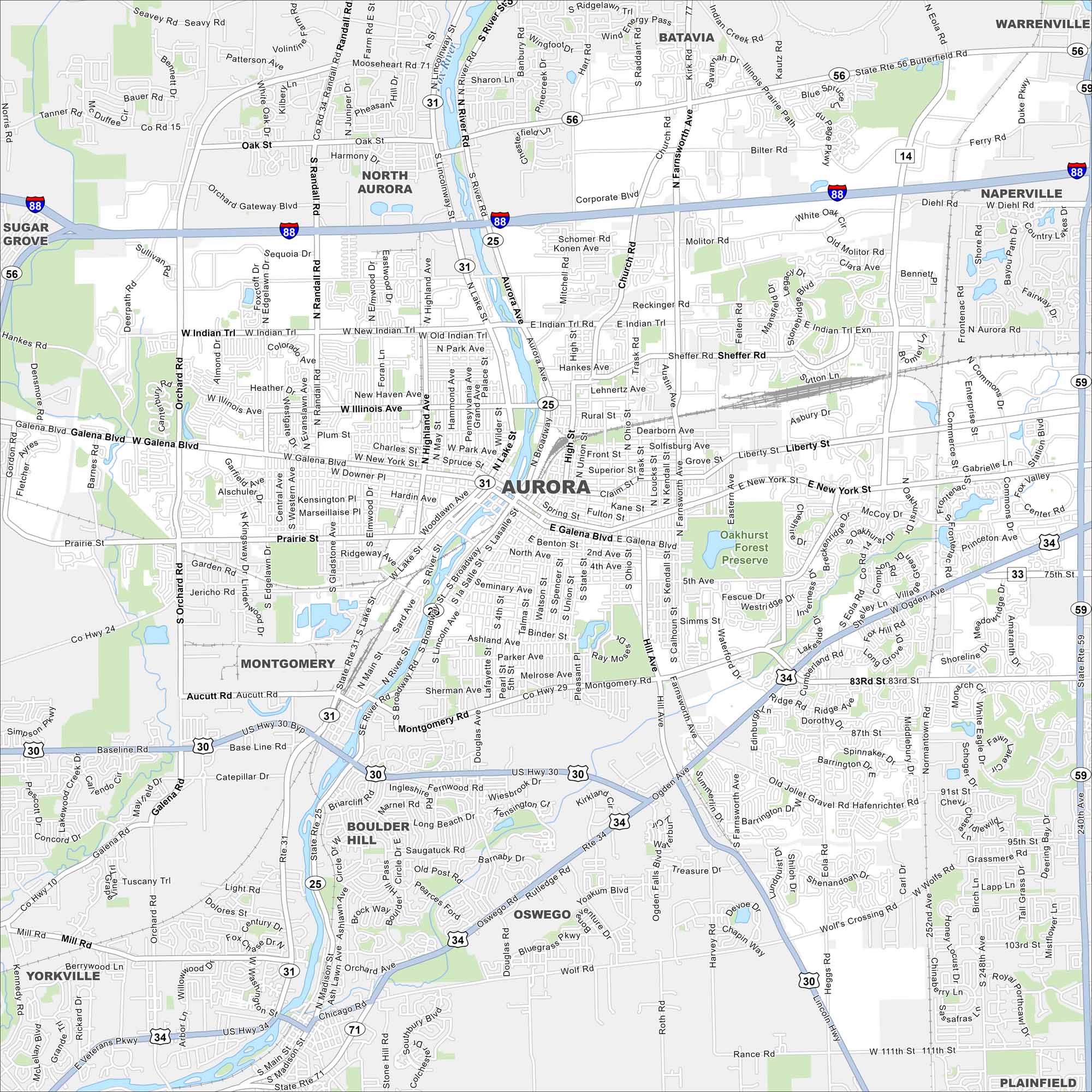
Our map of Aurora shows the highways, streets, and river crossings. Roads follow the Fox River because the city grew along its banks. Aurora is nicknamed the “City of Lights”.
Illinois State Maps
Get to know Illinois with our state maps


Map Information
On the Map
Interstates/Highways: I-88, US Hwy 30, US Hwy 34, State Rte 31, State Rte 25, State Rte 56, State Rte 59, State Rte 71 Major Roads: Galena Blvd, New York St, Lake St, Broadway, Farnsworth Ave, Eola Rd, Orchard Rd, Randall Rd, Illinois Ave, Indian Trail, Ohio St, McCoy Dr, Montgomery Rd, Ogden Ave, Diehl Rd, Butterfield Rd, Liberty St, Prairie St, Ashland Ave, Sullivan Rd Major Rivers: Fox River Parks and Preserves: Oakhurst Forest Preserve Nearby Communities: North Aurora, Batavia, Warrenville, Naperville, Plainfield, Oswego, Boulder Hill, Montgomery, Yorkville, Sugar GroveIllinois City Maps
Explore Chicago and urban regions of Illinois


