Map of Bolingbrook, Illinois
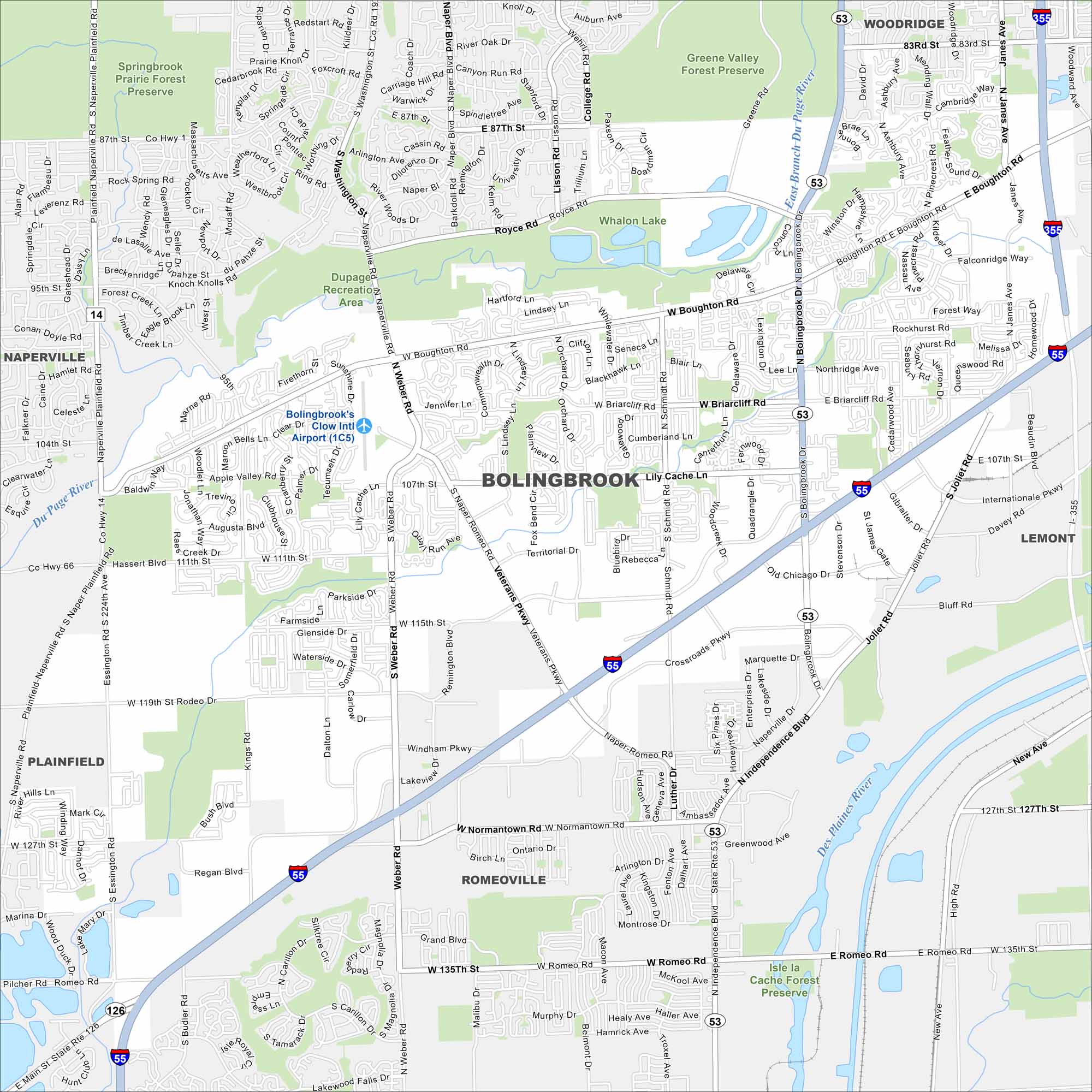
Bolingbrook is a large suburb southwest of Chicago. Our map shows its neighborhoods, parks, and waterways. It has grown quickly because of its location near major highways like I-55.
Illinois State Maps
Get to know Illinois with our state maps


Map Information
On the Map
Interstates/Highways: I-55, I-355, US Hwy 34, State Rte 53, State Rte 126 Major Roads: Boughton Rd, Weber Rd, Naperville Rd, Joliet Rd, Bolingbrook Dr, Veterans Pkwy, Schmidt Rd, Hassert Blvd, Romeo Rd, Normantown Rd, Rodeo Dr, 95th St, 107th St, 111th St, 115th St, 119th St, 127th St, 135th St, Plainfield Rd, Naper Blvd Airports: Bolingbrook’s Clow Intl Airport (1C5) Lakes and Reservoirs: Whalon Lake Major Rivers: Du Page River, East Branch Du Page River, Des Plaines River Parks and Preserves: Springbrook Prairie Forest Preserve, Greene Valley Forest Preserve, Whalon Lake, Dupage Recreation Area, Isle la Cache Forest Preserve Nearby Communities: Woodridge, Naperville, Lemont, Plainfield, RomeovilleIllinois City Maps
Explore Chicago and urban regions of Illinois


