Map of Bradley, Illinois
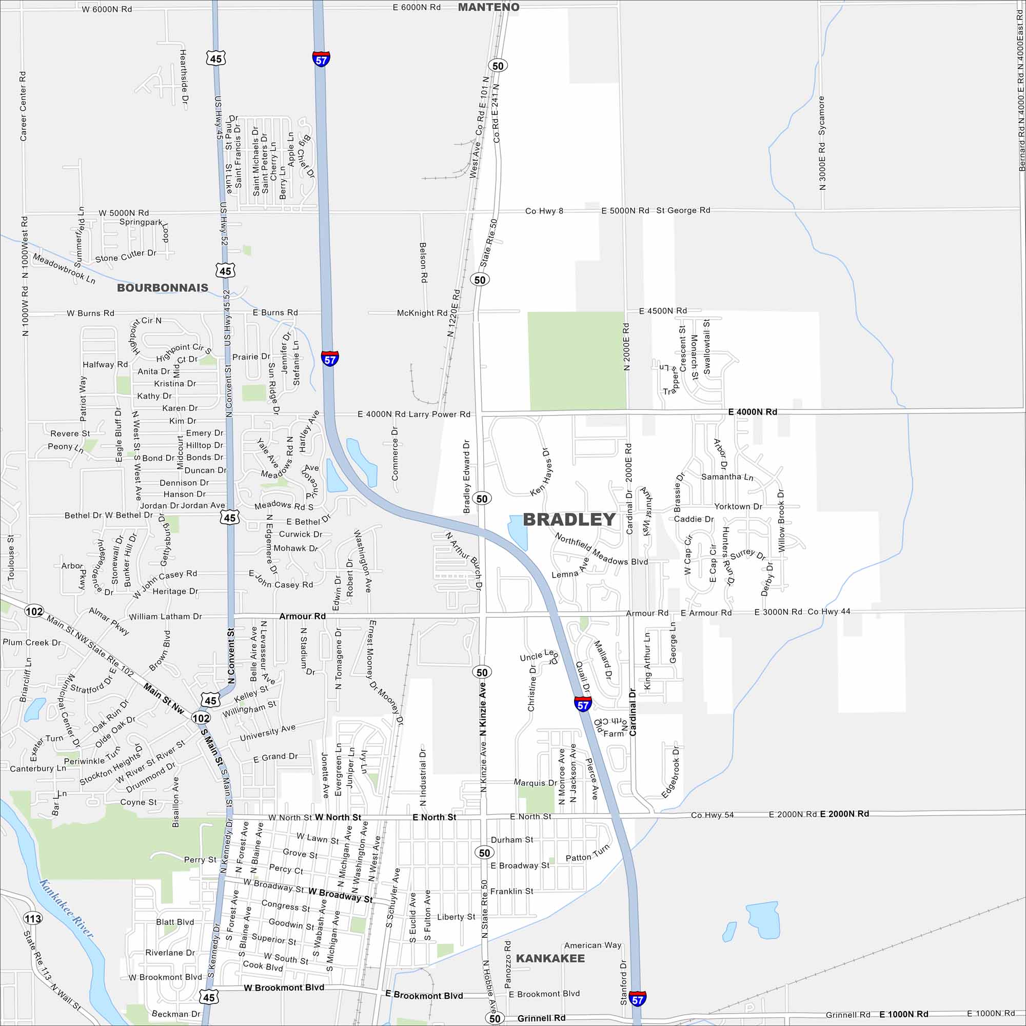
Bradley is a small town near Kankakee. Check it out on our map to see its mix of roads and highways. It’s steady because of its local economy.
Illinois State Maps
Get to know Illinois with our state maps


Map Information
On the Map
Interstates/Highways: I-57, US Hwy 45, US Hwy 52, State Rte 50, State Rte 102, State Rte 113 Major Roads: Armour Rd, North St, Broadway St, Brookmont Blvd, Larry Power Rd, St George Rd, Kennedy Dr, Main St NW, Convent St, Kinzie Ave, Cardinal Dr, Schuyler Ave, Michigan Ave, Forest Ave, Liberty St Major Rivers: Kankakee River Nearby Communities: Manteno, Bourbonnais, KankakeeIllinois City Maps
Explore Chicago and urban regions of Illinois


