Map of Carbondale, Illinois
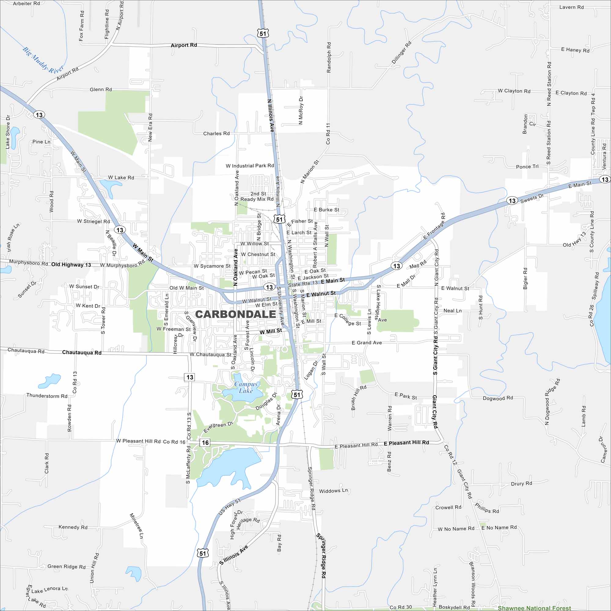
Carbondale is in southern Illinois near the Shawnee National Forest. Our map highlights neighborhoods, surrounding green hills, and nearby lakes. The city is sometimes called the “Capital of Southern Illinois” because it anchors the region.
Illinois State Maps
Get to know Illinois with our state maps


Map Information
On the Map
Interstates/Highways: US Hwy 51, State Rte 13, State Rte 16 Major Roads: Main St, Illinois Ave, University Ave, Giant City Rd, Wall St, Grand Ave, Pleasant Hill Rd, Airport Rd, Chautauqua Rd, Mill St, Walnut St, Industrial Park Rd, Sycamore St, Freeman St, Park St, Oakland Ave, Tower Rd, Reed Station Rd, Old Highway 13, Dillinger Rd Lakes and Reservoirs: Campus Lake Major Rivers: Big Muddy River Parks and Preserves: Shawnee National ForestIllinois City Maps
Explore Chicago and urban regions of Illinois


