Map of Webster Groves, Missouri
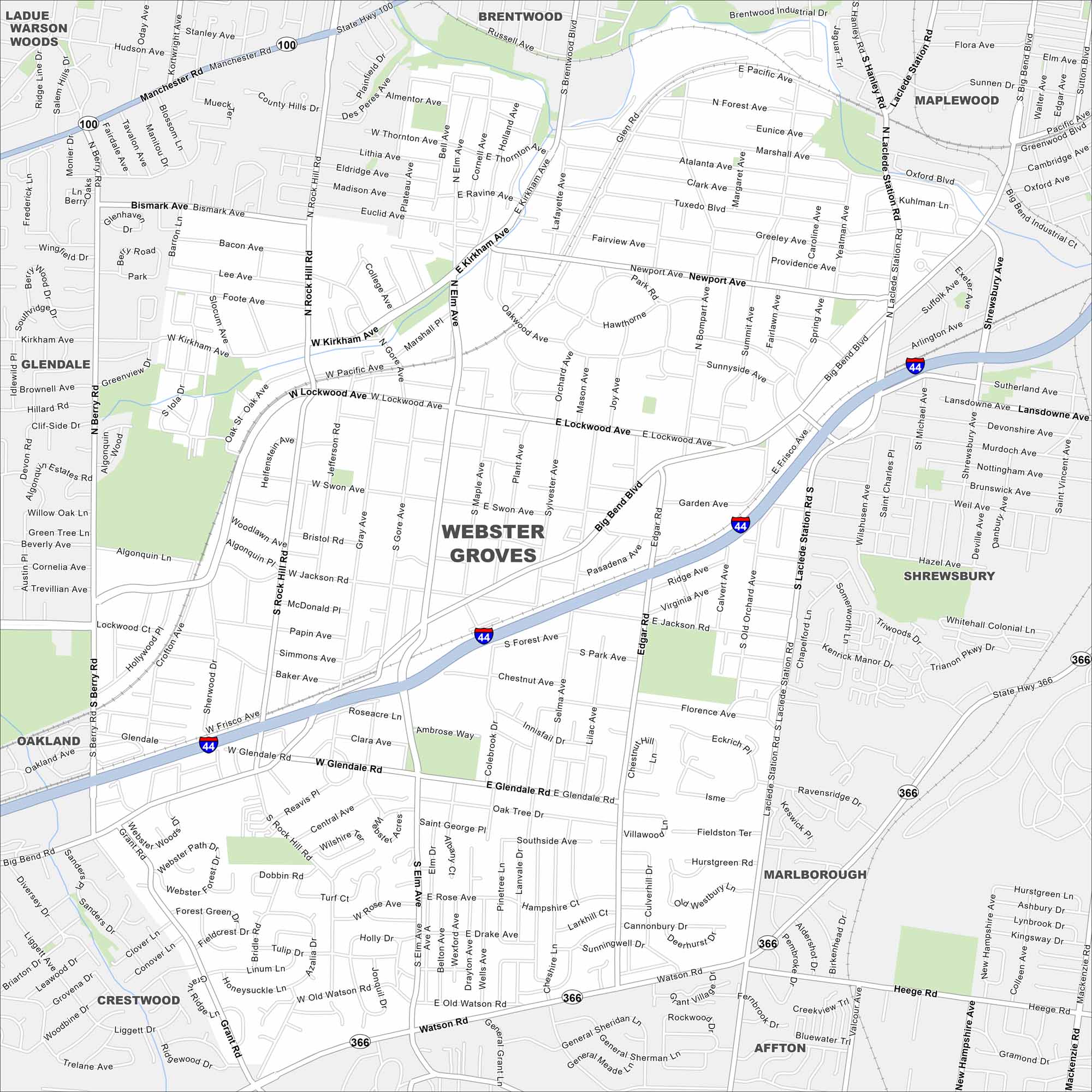
Our map of Webster Groves highlights its leafy streets and historic homes. This St. Louis suburb is known for its strong community feel.
Map Information
On the Map
Interstates/Highways: I-44, State Hwy 366 Major Roads: Manchester Rd, Big Bend Blvd, Lockwood Ave, Laclede Station Rd, Rock Hill Rd, Glendale Rd, Watson Rd, Berry Rd, Elm Ave, Kirkham Ave, Newport Ave, Marshall Ave, Pacific Ave, Swon Ave, Jackson Rd, Murdoch Ave, Lansdowne Ave, Shrewsbury Ave Nearby Communities: Rock Hill, Glendale, Oakland, Crestwood, Affton, Marlborough, Shrewsbury, Maplewood, BrentwoodMissouri State Maps
Check out state maps of the Show-Me State.


Missouri City Maps
Here are our city maps for Missouri


