Map of Wentzville, Missouri
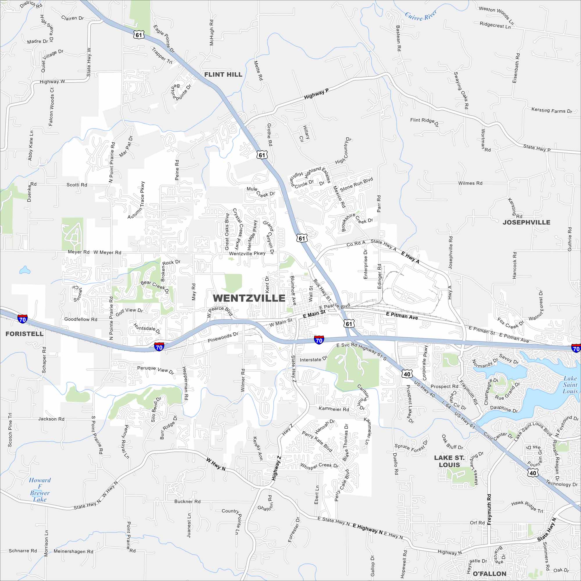
Here’s a map of Wentzville, one of Missouri’s fastest-growing cities. It blends small-town roots with new neighborhoods and thriving businesses.
Map Information
On the Map
Interstates/Highways: I-70, I-64, US Hwy 61, US Hwy 40 Major Roads: Wentzville Pkwy, Main St, Pitman Ave, Mexico Rd, Pearce Blvd, Peine Rd, Wilmer Rd, Hepperman Rd, Duello Rd, Diehr Rd, Prospect Rd, Sommers Rd Lakes and Reservoirs: Lake Saint Louis, Howard F Brewer Lake Major Rivers: Cuivre River Nearby Communities: Flint Hill, Josephville, Lake St. Louis, O’Fallon, ForistellMissouri State Maps
Check out state maps of the Show-Me State.


Missouri City Maps
Here are our city maps for Missouri


