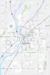
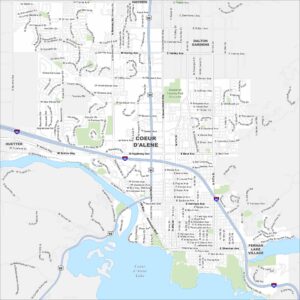
Map of Coeur d’Alene, Idaho
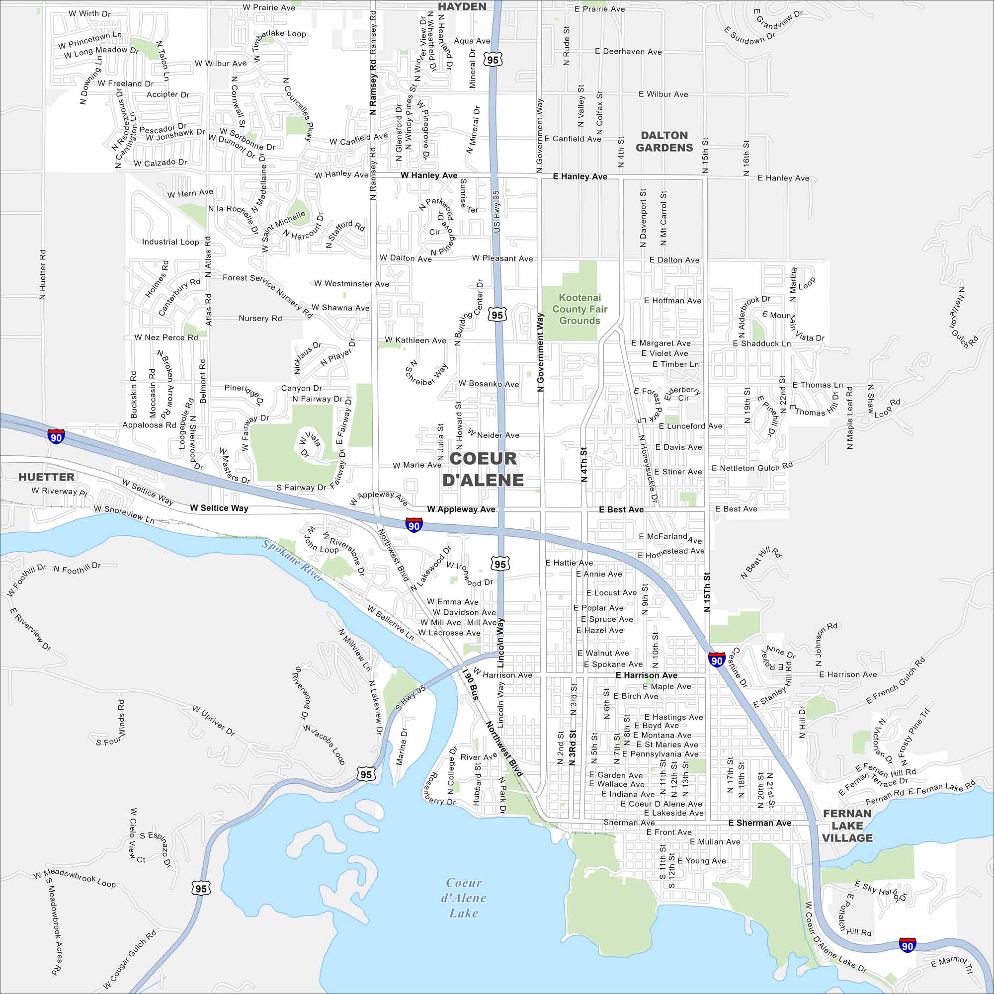
Our map of Coeur d’Alene shows the city’s streets, highways, and lakefront. Nestled in northern Idaho, it’s famous for its namesake lake and surrounding mountains. Forests and trails spread right to the edge of town.


Map Information
On the Map
Interstates/Highways: I-90, US Hwy 95 Major Roads: Government Way, Northwest Blvd, Sherman Ave, Appleway Ave, Ironwood Dr, Harrison Ave, Best Ave, Kathleen Ave, Hanley Ave, Canfield Ave, Prairie Ave, 4th St, 15th St, Ramsey Rd, Atlas Rd, Huetter Rd, Seltice Way, 3rd St, 9th St, Honeysuckle Dr Lakes and Reservoirs: Coeur d’Alene Lake Major Rivers: Spokane River Parks and Preserves: Kootenai County Fair Grounds Nearby Communities: Hayden, Dalton Gardens, Huetter, Fernan Lake VillageIdaho City Maps
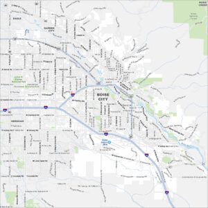
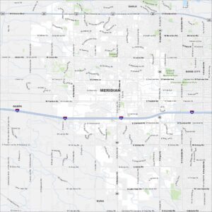
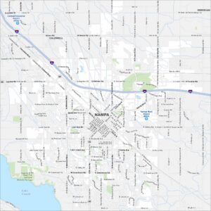
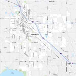
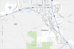
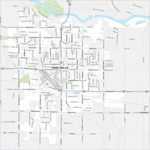
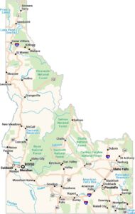
Boise and Idaho city maps right when you need them most