Map of Darien, Illinois
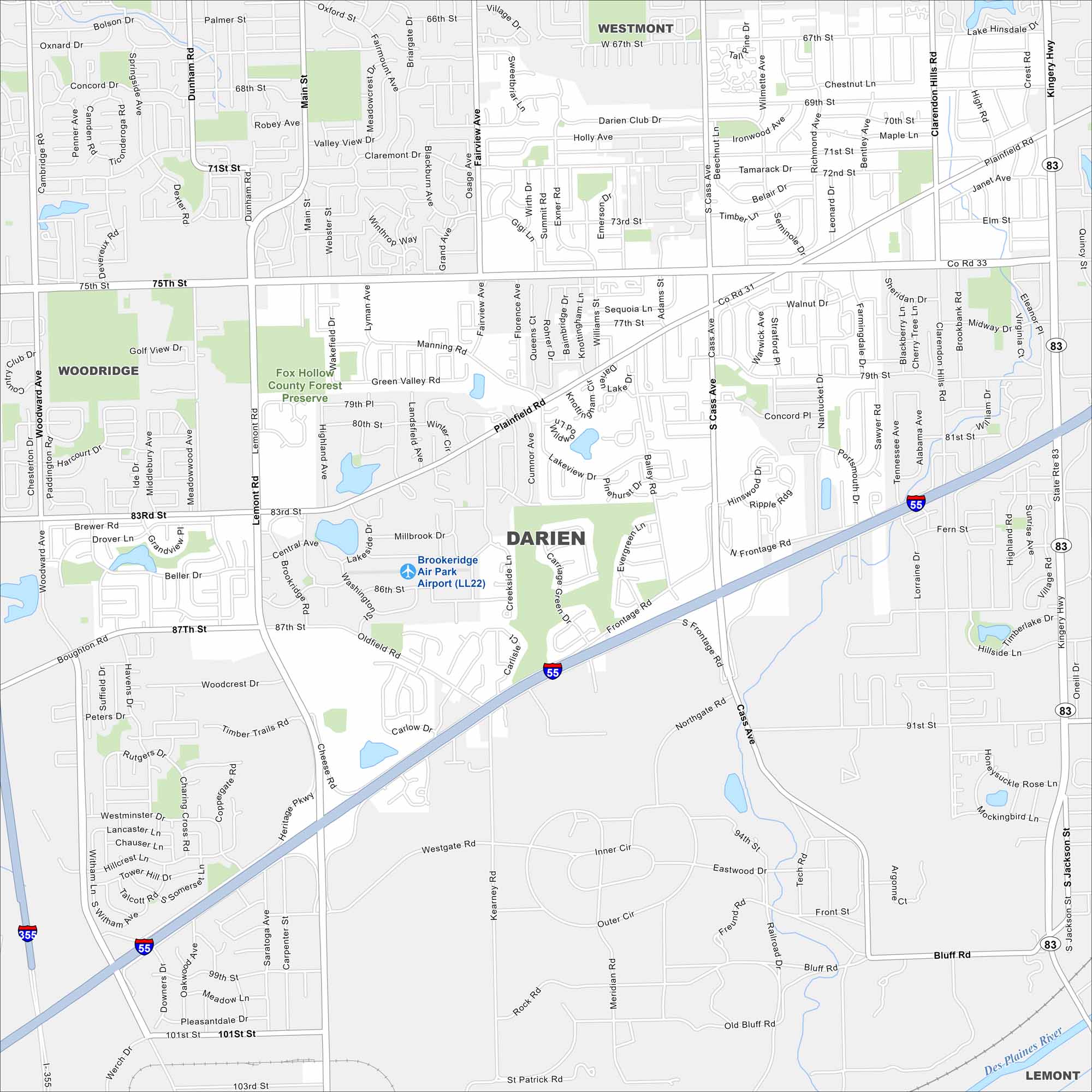
Darien is a southwest suburb of Chicago. Our map of Darien shows its waterways, parks and highways like Interstate 55. Green spaces like Waterfall Glen Forest Preserve sit along the city’s edge.
Illinois State Maps
Get to know Illinois with our state maps


Map Information
On the Map
Interstates/Highways: I-55, I-355, State Rte 83, Kingery Hwy Major Roads: 75th St, 83rd St, 87th St, 91st St, Cass Ave, Plainfield Rd, Lemont Rd, Main St, Fairview Ave, Clarendon Hills Rd, Boughton Rd, Oldfield Rd, Central Ave, Woodward Ave, Dunham Rd, 67th St, 71st St, 99th St, 101st St Airports: Brookeridge Air Park Airport (LL22) Major Rivers: Des Plaines River Parks and Preserves: Fox Hollow County Forest Preserve Nearby Communities: Westmont, Woodridge, LemontIllinois City Maps
Explore Chicago and urban regions of Illinois


