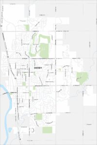
Map of Derby, Kansas
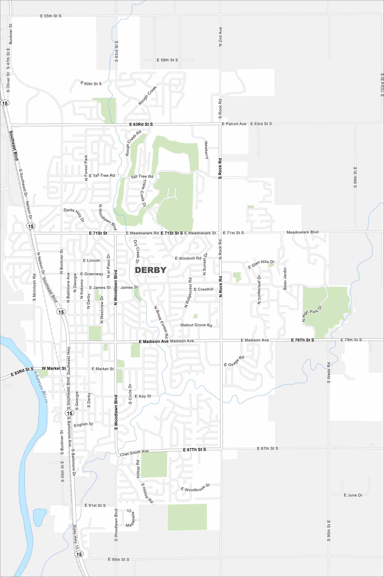
Our map of Derby shows a suburban community south of Wichita. You’ll see the Arkansas River cutting through the area. Its setting gives metro access and small town living.
Kansas State Maps
Explore every corner of Kansas with our state maps


Map Information
On the Map
Interstates/Highways: State Hwy 15 Major Roads: Rock Rd, Woodlawn Blvd, Madison Ave, 63rd St S, 71st St S, 79th St S, 87th St S, 95th St S, 55th St S, 47th St E, 103rd St E, Nelson Dr, Buckner St, Baltimore Ave, Georgie St, Derby St, Westview Dr, El Paso Dr, Meadowlark Blvd, Greenway St Major Rivers: Arkansas River Nearby Communities: Forest Park, High ParkCity Maps of Kansas
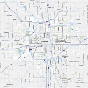
See our maps of Wichita and other urban centers