Map of Draper, Utah
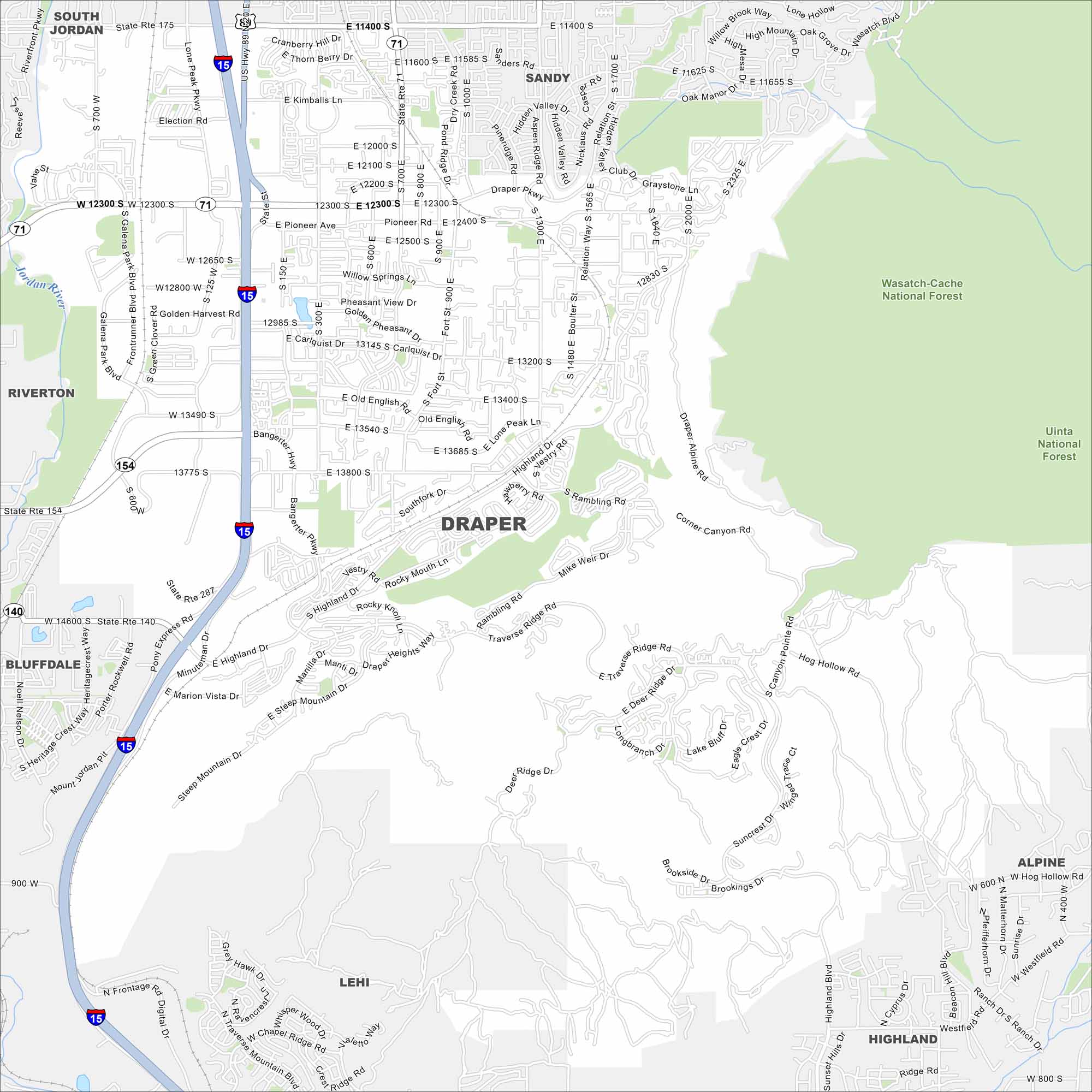
Draper lies at the south end of Salt Lake Valley. On the map, you’ll see the Wasatch Mountains rising to the east and open desert stretching to the west. Its spot makes it a natural crossroads for the valley.
Map Information
On the Map
Interstates/Highways: I-15, US Hwy 89, State Rte 71, State Rte 154, State Rte 140, State Rte 287, State Rte 175 Major Roads: Bangerter Hwy, Pioneer Rd, 12300 South St, 11400 South St, 13800 South St, Minuteman Dr, Fort St, 700 East St, 1300 East St, Draper Pkwy, Traverse Ridge Rd, Highland Blvd, Suncrest Dr, Corner Canyon Rd, Mike Weir Dr, Vestry Rd, Southfork Dr, Boulter St, Relation St, Highland Dr Major Rivers: Jordan River Parks and Preserves: Wasatch-Cache National Forest, Uinta National Forest Nearby Communities: Sandy, South Jordan, Riverton, Bluffdale, Lehi, Alpine, HighlandUtah State Maps
Look through maps of deserts, parks, and cities.


City Maps of Utah
Here is Salt Lake City and Utah’s urban regions.


