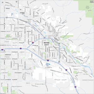
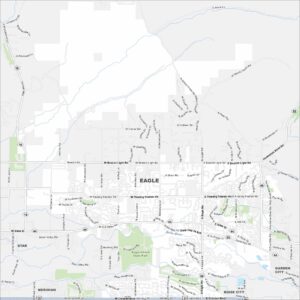
Map of Eagle, Idaho
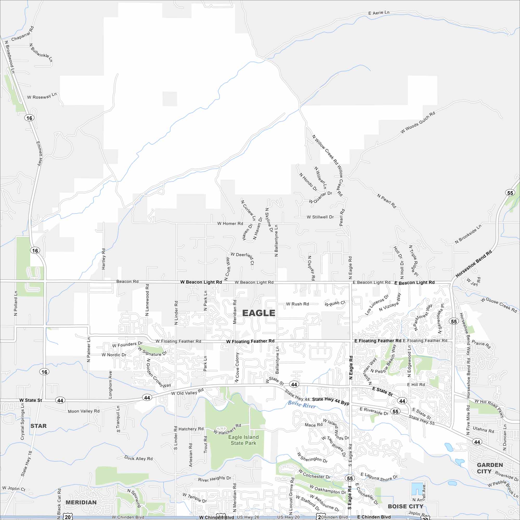
Eagle is just west of Boise along the Boise River. This area has winding neighborhoods, greenbelt trails, and farmland beyond. It’s grown quickly because of its riverfront charm and mountain backdrop.


Map Information
On the Map
Interstates/Highways: US Hwy 20, US Hwy 26, State Rte 16, State Rte 44, State Rte 55 Major Roads: State St, Eagle Rd, Chinden Blvd, Horseshoe Bend Rd, Linder Rd, Meridian Rd, Ballantyne Ln, Floating Feather Rd, Beacon Light Rd, Hill Rd, Lanewood Rd, Palmer Ln, Pollard Ln, Emmett Hwy, Mace Rd, Edgewood Ln, Park Ln, Old Valley Rd, Duck Alley Rd, Moon Valley Rd Major Rivers: Boise River Parks and Preserves: Eagle Island State Park Nearby Communities: Star, Meridian, Garden City, Boise CityIdaho City Maps
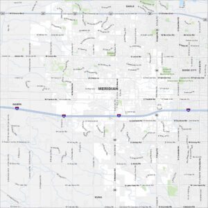
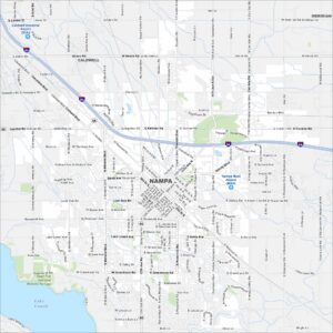
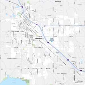
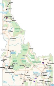
Boise and Idaho city maps right when you need them most