Map of West Point, Utah
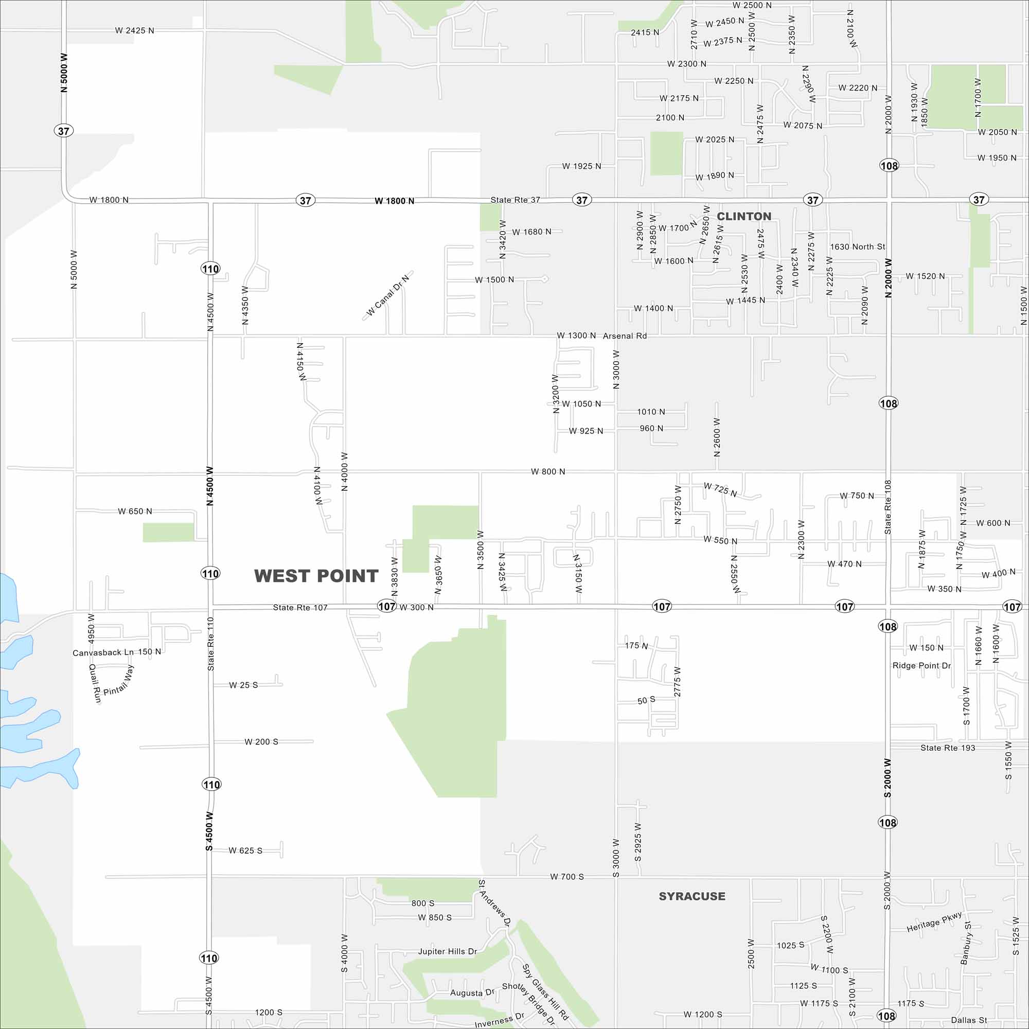
Want to explore West Point, Utah? Our map shows its highways and streets. This small city sits near the Great Salt Lake with wide-open views. But it is part of the Ogden–Clearfield, Utah Metropolitan Statistical Area.
Map Information
On the Map
Interstates/Highways: State Rte 37, State Rte 107, State Rte 110, State Rte 108, State Rte 193 Major Roads: 4500 W, 3000 W, 2000 W, 800 N, 300 N, 1800 N, 1300 N, 700 S, 2425 N, Arsenal Rd, Heritage Pkwy, Spy Glass Hill Rd, Shotley Bridge Dr, Inverness Dr, Jupiter Hills Dr, Augusta Dr, Ridge Point Dr, Canvasback Ln, Pintail Way, Quail Run Nearby Communities: Clinton, SyracuseUtah State Maps
Look through maps of deserts, parks, and cities.


City Maps of Utah
Here is Salt Lake City and Utah’s urban regions.


