Map of West Valley City, Utah
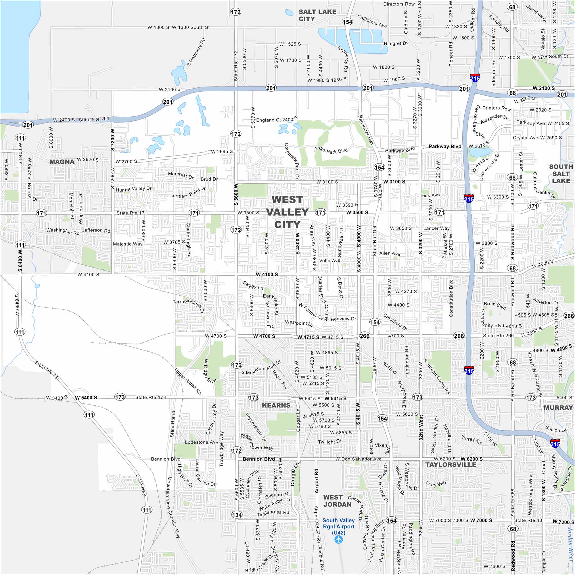
Our road map of West Valley City shows the largest suburb of Salt Lake City. The area blends neighborhoods, shopping, and mountain views.
Map Information
On the Map
Interstates/Highways: I-215, State Rte 201, State Rte 171, State Rte 154, State Rte 172, State Rte 173, State Rte 68, State Rte 266, State Rte 111, State Rte 85 Major Roads: Bangerter Hwy, Redwood Rd, 3500 S, 4100 S, 4700 S, 2100 S, 5600 W, 7200 W, 8400 W, Constitution Blvd, Decker Lake Dr, Parkway Blvd, Lancer Way, Market St, Jordan Canal Rd, Bennion Blvd, Corporate Park Dr, High Bluff Dr, Lodestone Ave, Lake Park Blvd Airports: South Valley Rgnl Airport (U42) Major Rivers: Jordan River Nearby Communities: Salt Lake City, South Salt Lake, Murray, Taylorsville, Kearns, West Jordan, MagnaUtah State Maps
Look through maps of deserts, parks, and cities.


City Maps of Utah
Here is Salt Lake City and Utah’s urban regions.


