Map of Emporia, Kansas
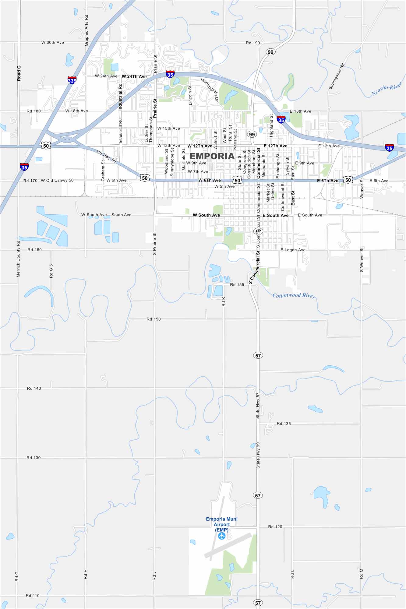
Emporia sits between Topeka and Wichita on the Kansas prairie. U.S. 50 and I-35 cross right by the city. Its wide-open landscape makes it easy to spot. The Emporia Municipal Airport occupies the southern section.
Kansas State Maps
Explore every corner of Kansas with our state maps


Map Information
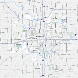
On the Map
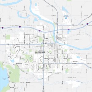
Interstates/Highways: I-35, I-335, US Hwy 50, State Hwy 99, State Hwy 57 Major Roads: 6th Ave, 12th Ave, 18th Ave, 24th Ave, 30th Ave, Industrial Rd, Commercial St, Graphic Arts Rd, Prairie St, Merchant St, Constitution St, Market St, Exchange St, Sylvan St, East St, Weaver St, South Ave, Logan Ave, Road G, Road M Airports: Emporia Muni Airport (EMP) Major Rivers: Neosho River, Cottonwood RiverCity Maps of Kansas
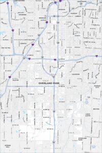
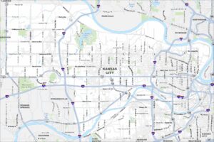
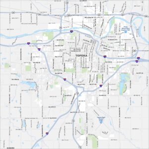
See our maps of Wichita and other urban centers