Map of Westchester, Illinois
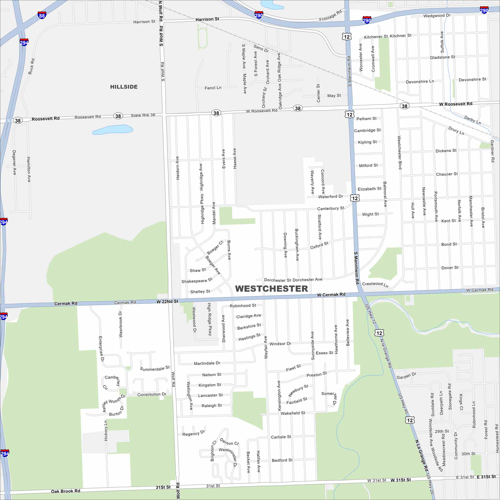
Get around Westchester, a suburban community west of Chicago. Parks and quiet residential streets fill the map. Highways like US-12 and I-294 make it very accessible to the rest of Illinois.
Illinois State Maps
Get to know Illinois with our state maps


Map Information
On the Map
Interstates/Highways: I-294, I-290, I-88, US Hwy 45, US Hwy 20, US Hwy 12, State Rte 38 Major Roads: Roosevelt Rd, Cermak Rd, Mannheim Rd, Wolf Rd, 31st St, Westchester Blvd, La Grange Rd, Harrison St, Canterbury St, Balmoral Ave, Hull Ave, Newcastle Ave, Portsmouth Ave, Norfolk Ave, Manchester Ave, Bristol Ave, Bond St, Dover St, May St, Pelham St Nearby Communities: HillsideIllinois City Maps
Explore Chicago and urban regions of Illinois


