Map of Florence, South Carolina
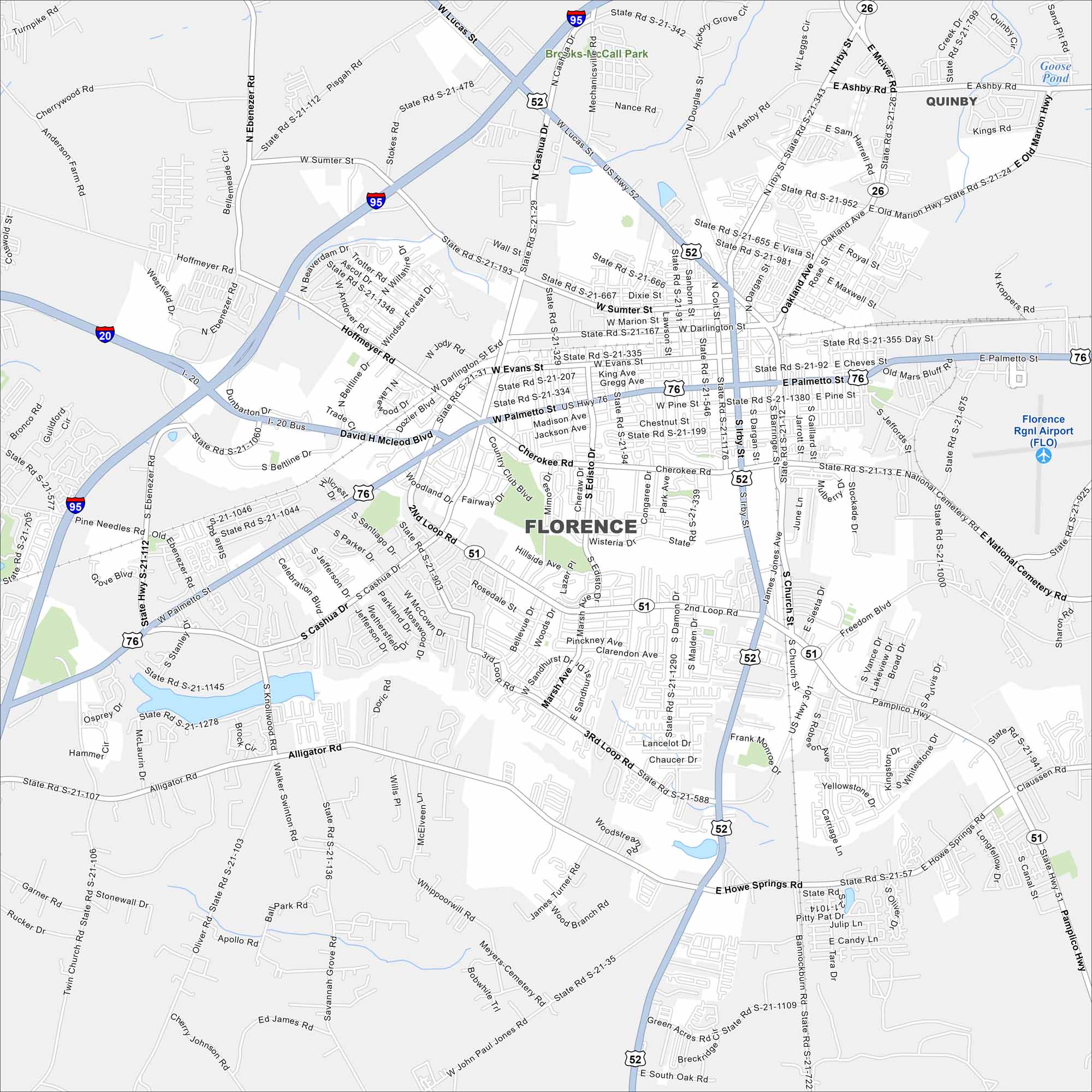
Florence is in the Pee Dee region of the state. Rail lines and highways cross here, giving it a hub-like feel. Our map includes major routes, water and more.
Map Information
On the Map
Interstates/Highways: I-20, I-95, US Hwy 52, US Hwy 76, State Rte 51, State Rte 512 Major Roads: Palmetto St, Evans St, Lucas St, Irby St, Cashua Dr, David H McLeod Blvd, Second Loop Rd, Third Loop Rd, Hoffmeyer Rd, Ebenezer Rd, Beltline Dr, Radio Dr, Alligator Rd, Howe Springs Rd, Pamplico Hwy, National Cemetery Rd, Freedom Blvd, Church St, Dargan St, Coit St Airports: Florence Rgnl Airport (FLO) Lakes and Reservoirs: Goose Pond Parks and Preserves: Brooks McCall Park Nearby Communities: QuinbySouth Carolina State Maps
Explore maps across the Palmetto State.


City Maps of South Carolina
Find our maps of Charleston and South Carolina cities here


