Map of Westmont, Illinois
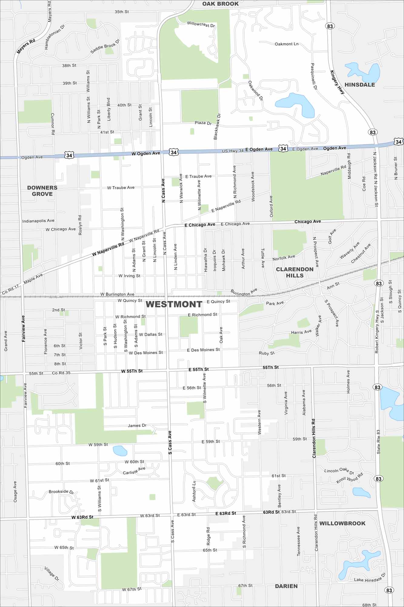
Here’s our map of Westmont, Illinois in DuPage County. The community blends suburban neighborhoods with a historic downtown.
Illinois State Maps
Get to know Illinois with our state maps


Map Information
On the Map
Interstates/Highways: US Hwy 34, I-83 Major Roads: Ogden Ave, 55th St, 63rd St, Cass Ave, Naperville Rd, Chicago Ave, Kingery Hwy, Pasquinelli Dr, Fairview Ave, Westmont Ave, Richmond St, Quincy St, Burlington Ave, Irving St, Dallas St, Des Moines St, 67th St, 35th St, 38th St, 41st St Nearby Communities: Oak Brook, Hinsdale, Clarendon Hills, Willowbrook, Darien, Downers GroveIllinois City Maps
Explore Chicago and urban regions of Illinois


