Map of Wheaton, Illinois
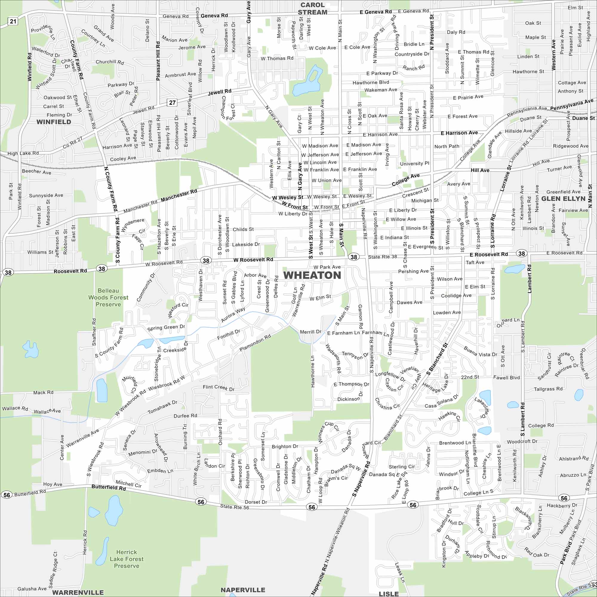
Our map of Wheaton shows this college town west of Chicago. Its historic downtown and forest preserves stand out the most.
Illinois State Maps
Get to know Illinois with our state maps


Map Information
On the Map
Interstates/Highways: State Rte 56, State Rte 38, State Rte 27 Major Roads: Roosevelt Rd, Naperville Rd, Butterfield Rd, Main St, President St, Blanchard St, Gary Ave, Geneva Rd, County Farm Rd, Jewell Rd, Harrison Ave, Manchester Rd, Front St, Wesley St, Liberty Dr, Park Ave, Farnsworth Ln, Thompson Dr, Orchard Rd, Wiesbrook Rd Parks and Preserves: Belleau Woods Forest Preserve, Herrick Lake Forest Preserve Nearby Communities: Carol Stream, Glen Ellyn, Lisle, Naperville, Warrenville, WinfieldIllinois City Maps
Explore Chicago and urban regions of Illinois


