Map of Hilton Head Island, South Carolina
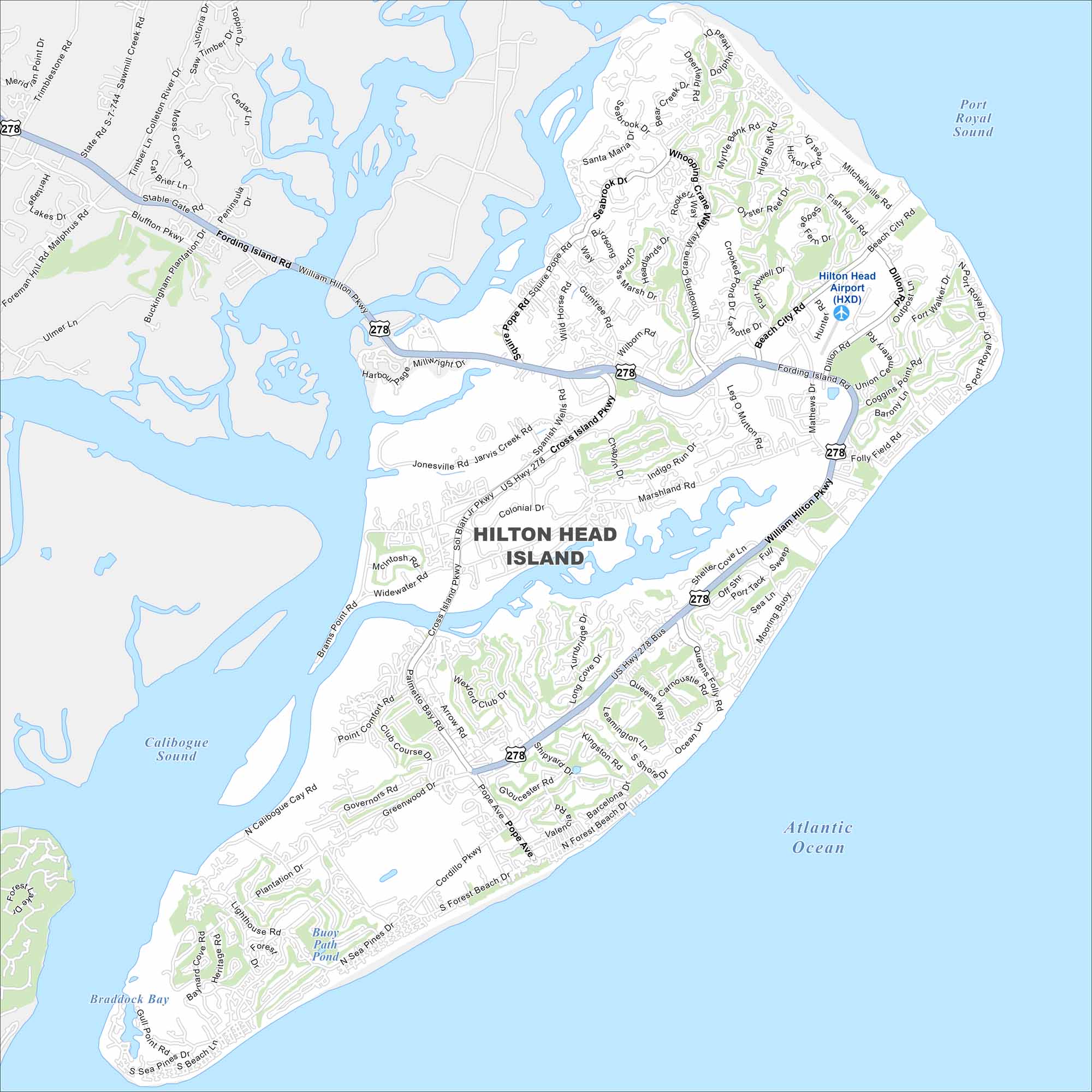
Explore our map of Hilton Head Island on the Atlantic coast. You’ll notice beaches, green spaces, and lagoons scattered across the island. It’s a well-known resort spot in the Lowcountry.
Map Information
On the Map
Interstates/Highways: US Hwy 278 Major Roads: William Hilton Pkwy, Cross Island Pkwy, Palmetto Bay Rd, Pope Ave, Sea Pines Dr, Cordillo Pkwy, Shipyard Dr, Beach City Rd, Fording Island Rd, Main St, Squire Pope Rd, Gumtree Rd, Wilborn Rd, Mathews Dr, Dillon Rd, Union Cemetery Rd, Jonesville Rd, Spanish Wells Rd, Marshland Rd, Indigo Run Dr Airports: Hilton Head Airport (HXD) Lakes and Reservoirs: Atlantic Ocean, Port Royal Sound, Calibogue Sound, Braddock Bay, Buoy Path PondSouth Carolina State Maps
Explore maps across the Palmetto State.


City Maps of South Carolina
Find our maps of Charleston and South Carolina cities here


