Map of Lawrence, Kansas
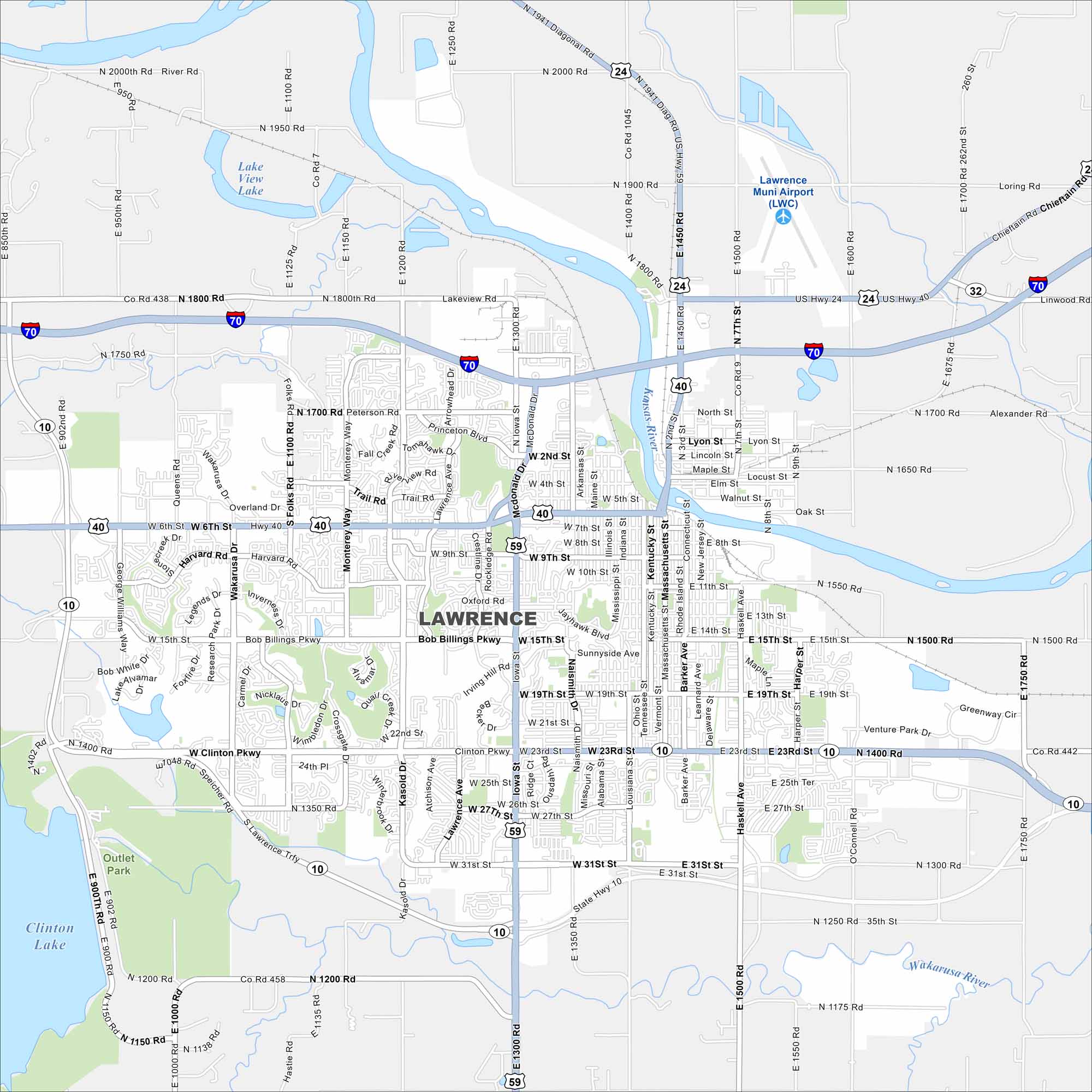
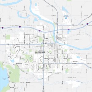
Our map of Lawrence shows the Kansas River running through downtown. The University of Kansas dominates the west side. Rolling hills frame the city limits.
Kansas State Maps
Explore every corner of Kansas with our state maps


Map Information
On the Map
Interstates/Highways: I-70, US Hwy 40, US Hwy 59, US Hwy 24, State Hwy 10, State Hwy 32 Major Roads: 6th St, 23rd St, 31st St, Iowa St, Kasold Dr, Wakarusa Dr, Lawrence Trfy, Bob Billings Pkwy, Clinton Pkwy, 15th St, 9th St, 2nd St, North St, Princeton Blvd, Peterson Rd, Monterey Way, Folks Rd, Massachusetts St, Haskell Ave, O’Connell Rd Airports: Lawrence Muni Airport (LWC) Lakes and Reservoirs: Clinton Lake, Lake View Lake Major Rivers: Kansas River, Wakarusa RiverCity Maps of Kansas
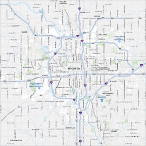
See our maps of Wichita and other urban centers