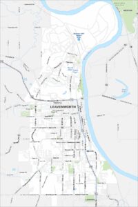
Map of Leavenworth, Kansas
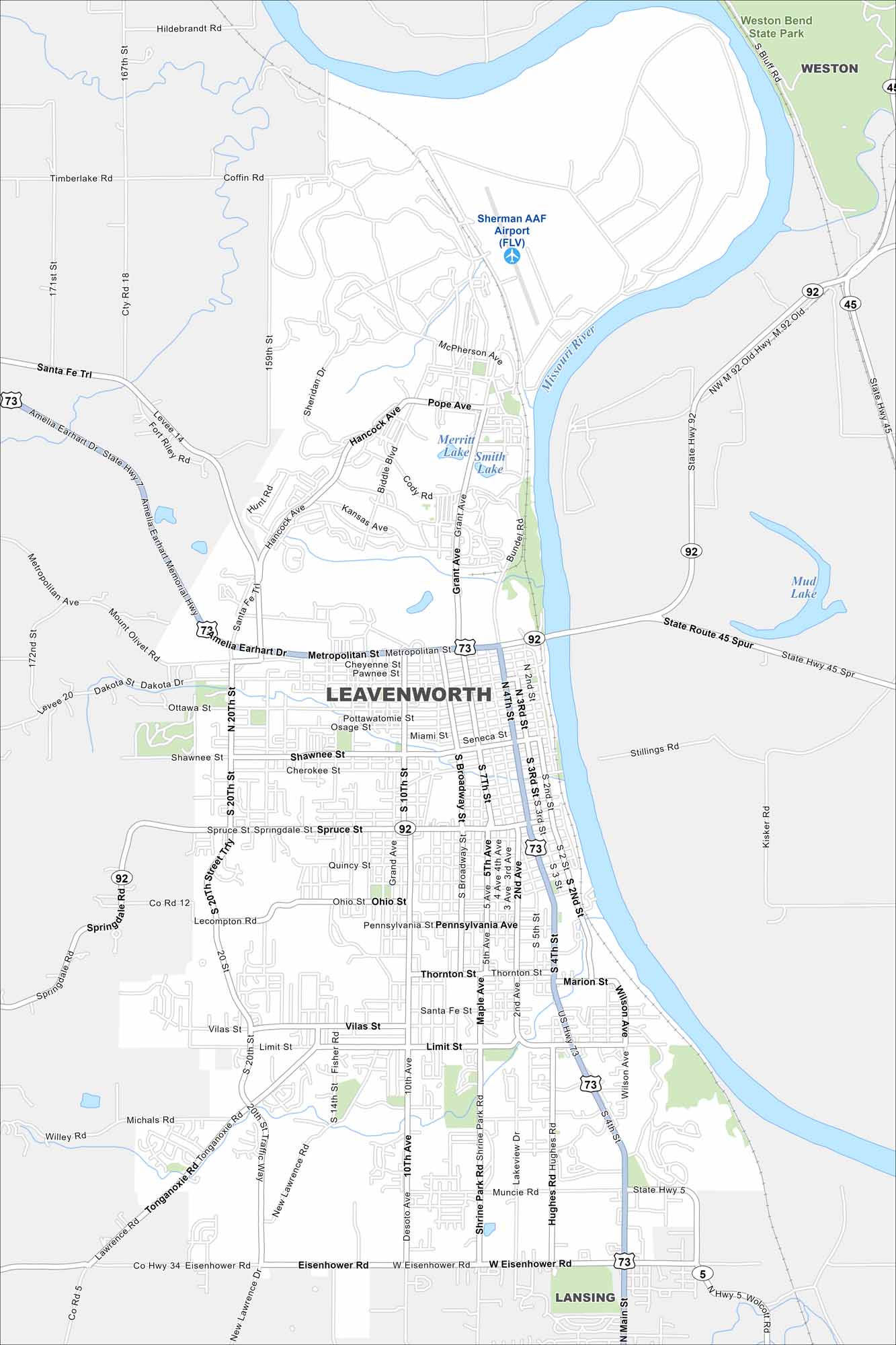
Check out Leavenworth on the Missouri River. Its historic downtown and Weston Bend State Park both stand out. Surrounding it is mostly farmland.
Kansas State Maps
Explore every corner of Kansas with our state maps


Map Information
On the Map
Interstates/Highways: US Hwy 73, State Hwy 92, State Hwy 5, State Hwy 45 Major Roads: Metropolitan St, Broadway St, 4th St, 10th Ave, 20th St, Eisenhower Rd, Vilas St, Limit St, Spruce St, Shawnee St, Choctaw St, Muncie Rd, Hughes Rd, Shrine Park Rd, Desoto Ave, Tonganoxie Rd, Santa Fe Trl, Amelia Earhart Memorial Hwy, Pope Ave, Hancock Ave Airports: Sherman AAF Airport (FLV) Lakes and Reservoirs: Merritt Lake, Smith Lake, Mud Lake Major Rivers: Missouri River Nearby Communities: Weston, LansingCity Maps of Kansas
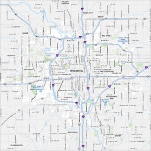
See our maps of Wichita and other urban centers