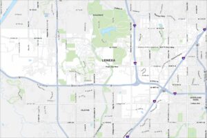
Map of Lenexa, Kansas
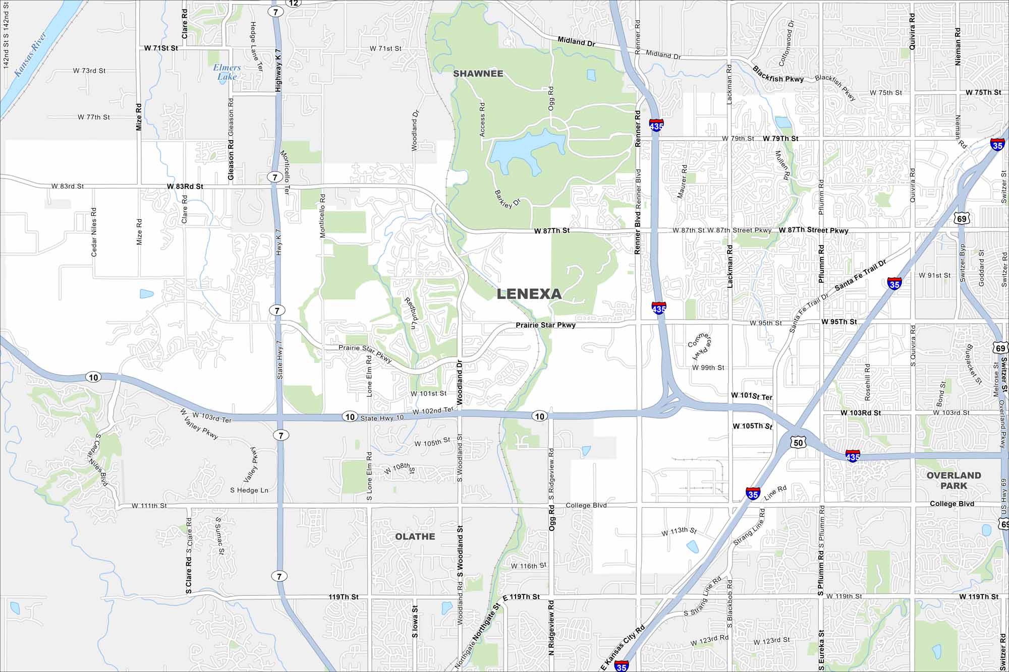
Lenexa appears in suburban Johnson County. The map shows a mix of neighborhoods, parks, and lakes. It blends directly into the Kansas City metro.
Kansas State Maps
Explore every corner of Kansas with our state maps


Map Information
On the Map
Interstates/Highways: I-435, I-35, US Hwy 69, State Hwy 10, State Hwy 7 Major Roads: 87th St, 95th St, College Blvd, 71st St, Renner Blvd, 119th St, Santa Fe Trail Dr, Monticello Rd, Pflumm Rd, Quivira Rd, Lackman Rd, Gleason Rd, Woodland Dr, 83rd St, 103rd St, Prairie Star Pkwy, Ridgeview Rd, Maurer Rd, Blackfish Pkwy, Mize Rd Major Rivers: Kansas River Nearby Communities: Shawnee, Overland Park, OlatheCity Maps of Kansas
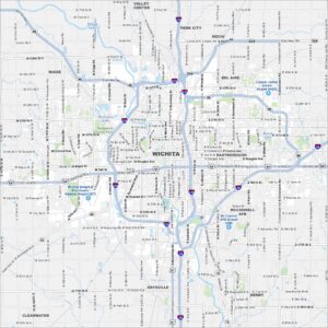
See our maps of Wichita and other urban centers