Map of Lexington, Kentucky
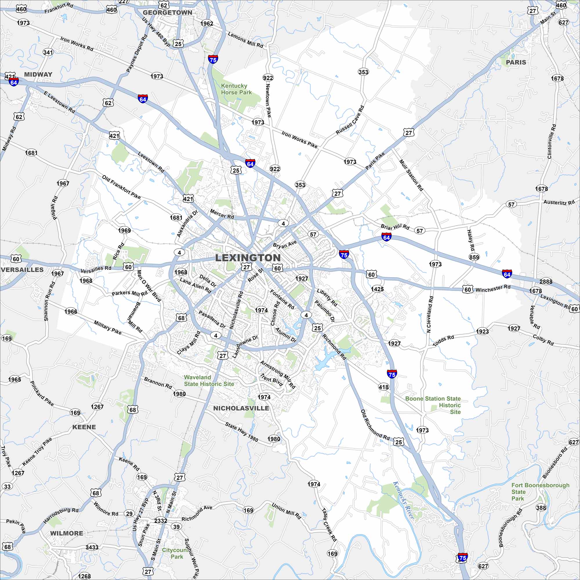
Our map of Lexington displays its highways, lakes, rivers and parks. The city center sits at the hub of roads extending outward. Its location in the Bluegrass Region is unmistakable.
Kentucky State Maps
Our Kentucky maps reveal the Bluegrass State


Map Information
On the Map
Interstates/Highways: I-75, I-64, US Hwy 25, US Hwy 60, US Hwy 68, US Hwy 27, US Hwy 421, US Hwy 460, State Rte 4, State Rte 922, State Rte 353, State Rte 57, State Rte 1973, State Rte 859, State Rte 1927, State Rte 418, State Rte 1974, State Rte 1980, State Rte 169, State Rte 1267, State Rte 1966, State Rte 1967, State Rte 1968, State Rte 1969, State Rte 341 Major Roads: New Circle Rd, Man O War Blvd, Broadway, Main St, Richmond Rd, Nicholasville Rd, Winchester Rd, Versailles Rd, Leestown Rd, Harrodsburg Rd, Tates Creek Rd, Alumni Dr, Clays Mill Rd, Pasadena Dr, Mason Headley Rd, Iron Works Pike, Russell Cave Rd, Paris Pike, Liberty Rd, Todds Rd Major Rivers: Kentucky River Parks and Preserves: Kentucky Horse Park, Waveland State Historic Site, Boone Station State Historic Site, Fort Boonesborough State Park Nearby Communities: Georgetown, Paris, Midway, Versailles, Keene, Wilmore, NicholasvilleCity Maps of Kentucky
Here are Kentucky’s cities in full detail