Map of Murray, Utah
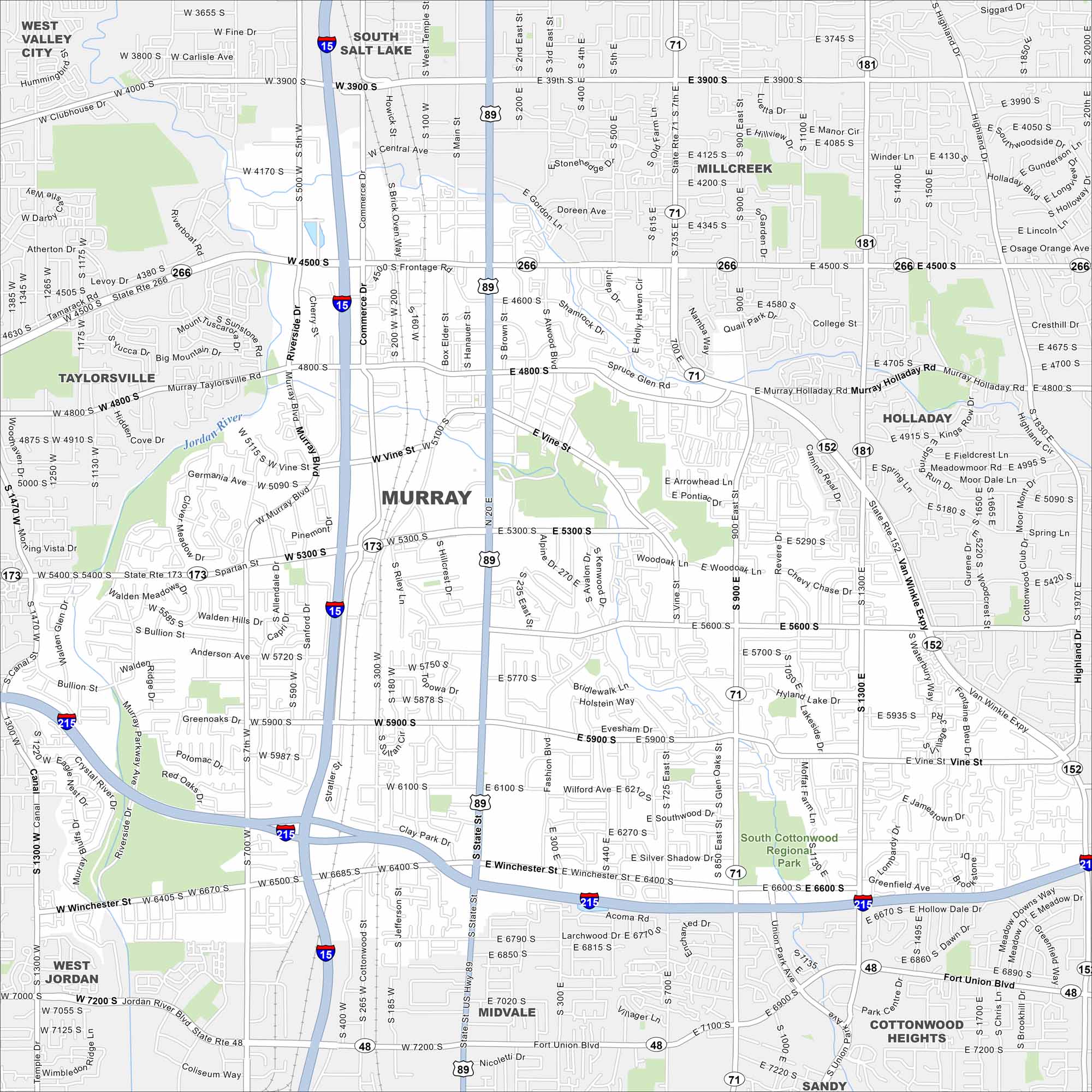
Our map of Murray shows a city in the Salt Lake Valley. Major highways cross through, with neighborhoods tucked between its highways and roads. It sits right at the heart of the metro.
Map Information
On the Map
Interstates/Highways: I-15, I-215, US Hwy 89, State Rte 71, State Rte 171, State Rte 266, State Rte 173, State Rte 152, State Rte 181, State Rte 48 Major Roads: State St, 700 East St, 900 East St, 4500 South St, 5300 South St, 5900 South St, 6400 South St, 7000 South St, 7200 South St, Main St, Commerce Dr, Riverside Dr, Murray Holladay Rd, Van Winkle Expy, Union Park Ave, Highland Dr, Winchester St, Vine St, Fashion Blvd, Cottonwood St Major Rivers: Jordan River Parks and Preserves: South Cottonwood Regional Park Nearby Communities: South Salt Lake, Millcreek, Holladay, Cottonwood Heights, Sandy, Midvale, West Jordan, Taylorsville, West Valley CityUtah State Maps
Look through maps of deserts, parks, and cities.


City Maps of Utah
Here is Salt Lake City and Utah’s urban regions.


