Map of New Lenox, Illinois
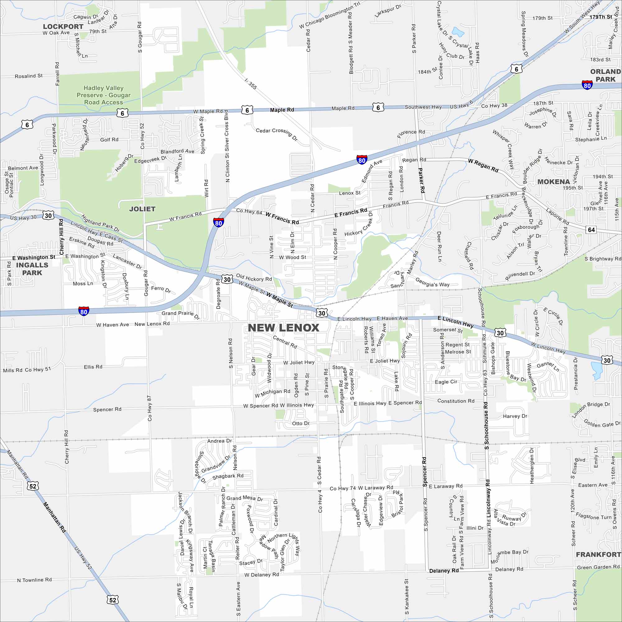
New Lenox lies southwest of Chicago in Will County. Our map shows parks, roads and highway connections. It’s a fast-growing suburb on the edge of the metro area.
Illinois State Maps
Get to know Illinois with our state maps


Map Information
On the Map
Interstates/Highways: I-80, I-355, US Hwy 30, US Hwy 6, US Hwy 52, State Rte 6, Lincoln Hwy, Joliet Hwy Major Roads: Maple Rd, Francis Rd, Laraway Rd, Delaney Rd, Gougar Rd, Cedar Rd, Schoolhouse Rd, Spencer Rd, Nelson Rd, Parker Rd, Haven Ave, Illinois Hwy, Townline Rd, Cooper Rd, Silver Cross Blvd, Cherry Hill Rd, Eastern Ave, Marley Rd Parks and Preserves: Hadley Valley Preserve Nearby Communities: Lockport, Orland Park, Joliet, Mokena, Frankfort, Ingalls ParkIllinois City Maps
Explore Chicago and urban regions of Illinois


