Map of North Charleston, South Carolina
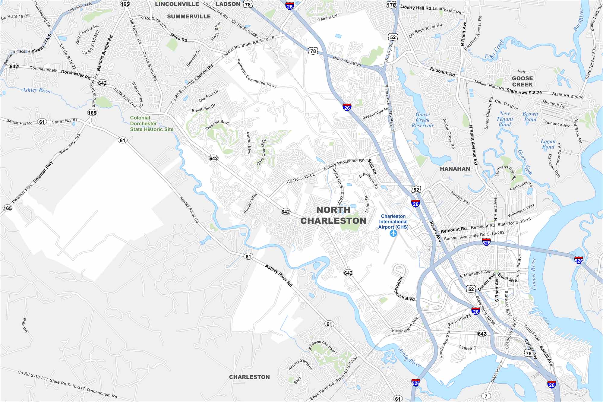
North Charleston lies just outside downtown Charleston. Check out our map to see its rivers, industrial port areas, and the Charleston International Airport.
Map Information
On the Map
Interstates/Highways: I-26, I-526, US Hwy 17A, US Hwy 52, US Hwy 78, State Rte 61, State Rte 165, State Rte 642 Major Roads: Ashley Phosphate Rd, Dorchester Rd, Rivers Ave, Aviation Ave, Remount Rd, Montague Ave, Spruill Ave, Cosgrove Ave, Rhett Ave, University Blvd, North Rhett Ave, International Blvd, Stall Rd, Greenridge Rd, Redbank Rd, Patriot Blvd, Appian Way, Wescott Blvd, Bacons Bridge Rd, Old Trolley Rd Airports: Charleston International Airport (CHS) Lakes and Reservoirs: Goose Creek Reservoir, Logan Pond, Raccoon Pond, Torpedo Pond, Brown Pond, New Tenant Pond Major Rivers: Ashley River, Goose Creek, Cooper River, Back River Parks and Preserves: Colonial Dorchester State Historic Site Nearby Communities: Summerville, Lincolnville, Ladson, Goose Creek, Hanahan, CharlestonSouth Carolina State Maps
Explore maps across the Palmetto State.


City Maps of South Carolina
Find our maps of Charleston and South Carolina cities here


